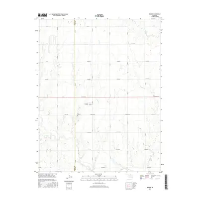
2016 Map of Nardin
USGS Topo · Published 2016About this map
Nardin stands as the central hub of this agricultural landscape in northwestern Oklahoma, situated along the border of Grant and Kay counties. The town site is structured around a traditional grid featuring W Main St, surrounded by an extensive network of rural section-line roads such as W Doolin Ave and S 140th St. This area is defined by its subtle drainage patterns, where several small watercourses like Big Antelope Cr and Thompson Cr meander through the prairie land.
Find a feature on this map
40 named features on this map. Tap any name to fly to it.
Don’t see what you’re looking for? This feature index may not catch every label — zoom into the map to look around manually.
Map Details
Editions of this 2016 Nardin Map
This is the sole edition of this map. No revisions or reprints were ever made.
Other maps of this area

1955 · Enid
USGS Topo · 1:250,000

1958 · Enid
USGS Topo · 1:250,000

1967 · Braman
USGS Topo · 1:24,000

1968 · Deer Creek
USGS Topo · 1:24,000

1968 · Eddy
USGS Topo · 1:24,000

1968 · Blackwell NW
USGS Topo · 1:24,000

1968 · Nardin
USGS Topo · 1:24,000

1968 · Tonkawa
USGS Topo · 1:24,000

1968 · Lamont
USGS Topo · 1:24,000
1968 · Medford NE
USGS Topo · 1:24,000