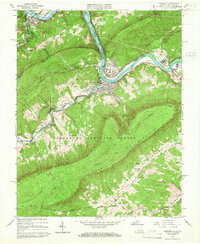
1965 Map of Narrows
USGS Topo · Published 1966About this map
The New River carves a deep path through the ridge-and-valley landscape of Giles Co, Virginia, and Mercer Co, West Virginia, where industrial infrastructure meets mountain wilderness. The town of Narrows serves as a focal point for the Norfolk and Western railroad, which follows the river's winding course alongside the Bluestone Reservoir. Small agrarian and mountain settlements like Shumate, Bluff City, and Thessalia are scattered throughout the valleys of Wolf Creek and Sugar Run.
Find a feature on this map
44 named features on this map. Tap any name to fly to it.
Don’t see what you’re looking for? This feature index may not catch every label — zoom into the map to look around manually.
Map Details
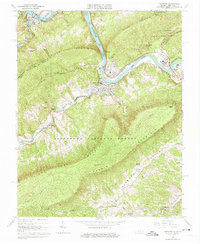
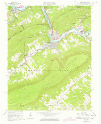
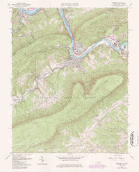
Editions of this 1965 Narrows Map
4 editions found
Other maps of this area

1890 · Dublin
USGS Topo · 1:125,000

1891 · Dublin
USGS Topo · 1:125,000

1913 · Peterstown
USGS Topo · 1:48,000

1916 · Peterstown
USGS Topo · 1:62,500

1923 · Pearisburg
USGS Topo · 1:62,500

1925 · Peterstown
USGS Topo · 1:62,500

1932 · Peterstown
USGS Topo · 1:48,000

1932 · Pearisburg
USGS Topo · 1:48,000

1934 · Pulaski
USGS Topo · 1:48,000

1937 · Pearisburg
USGS Topo · 1:62,500