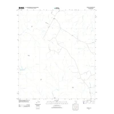
2012 Map of Naruna
USGS Topo · Published 2012About this map
Naruna sits at the intersection of several local routes, serving as a quiet focal point in this portion of the Texas Hill Country. The landscape is defined by its prominent topographical rises and the complex drainage of the Colorado River basin, featuring peaks like Lookout Mtn and Long Mtn, which overlook a network of seasonal watercourses. To the east, Horse Prairie suggests a traditional open grazing land, while the western reaches contain the small Owl Hollow Lake and the winding course of Lacy Cr.
Find a feature on this map
25 named features on this map. Tap any name to fly to it.
Don’t see what you’re looking for? This feature index may not catch every label — zoom into the map to look around manually.
Map Details
Editions of this 2012 Naruna Map
This is the sole edition of this map. No revisions or reprints were ever made.
Other maps of this area

1887 · Lampasas
USGS Topo · 1:125,000

1887 · Burnet
USGS Topo · 1:125,000

1893 · Burnet
USGS Topo · 1:125,000

1894 · Lampasas
USGS Topo · 1:125,000

1903 · Burnet
USGS Topo · 1:125,000

1909 · Burnet
USGS Topo · 1:125,000
1925 · Burnet 2-c
USGS Topo · 1:48,000

1932 · Tow
USGS Topo · 1:62,500

1954 · Brownwood
USGS Topo · 1:250,000

1954 · Lampasas
USGS Topo · 1:62,500