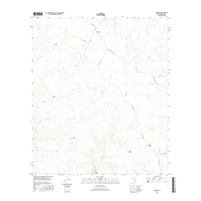
2016 Map of Naruna
USGS Topo · Published 2016About this map
The settlement of Naruna serves as the focal point for this survey of the Texas Hill Country, situated where McCreaville Rd meets FM 1478. The landscape is defined by its dramatic relief and spring-fed hydrology, anchored by prominent elevations like Lookout Mtn and Wolf Hill. Local history is preserved at the Naruna Cem, while the road network reflects the area's rural heritage through routes like the Old San Saba Rd and Dobyville Cemetery Rd.
Find a feature on this map
29 named features on this map. Tap any name to fly to it.
Don’t see what you’re looking for? This feature index may not catch every label — zoom into the map to look around manually.
Map Details
Editions of this 2016 Naruna Map
This is the sole edition of this map. No revisions or reprints were ever made.
Other maps of this area

1887 · Lampasas
USGS Topo · 1:125,000

1887 · Burnet
USGS Topo · 1:125,000

1893 · Burnet
USGS Topo · 1:125,000

1894 · Lampasas
USGS Topo · 1:125,000

1903 · Burnet
USGS Topo · 1:125,000

1909 · Burnet
USGS Topo · 1:125,000
1925 · Burnet 2-c
USGS Topo · 1:48,000

1932 · Tow
USGS Topo · 1:62,500

1954 · Brownwood
USGS Topo · 1:250,000

1954 · Lampasas
USGS Topo · 1:62,500