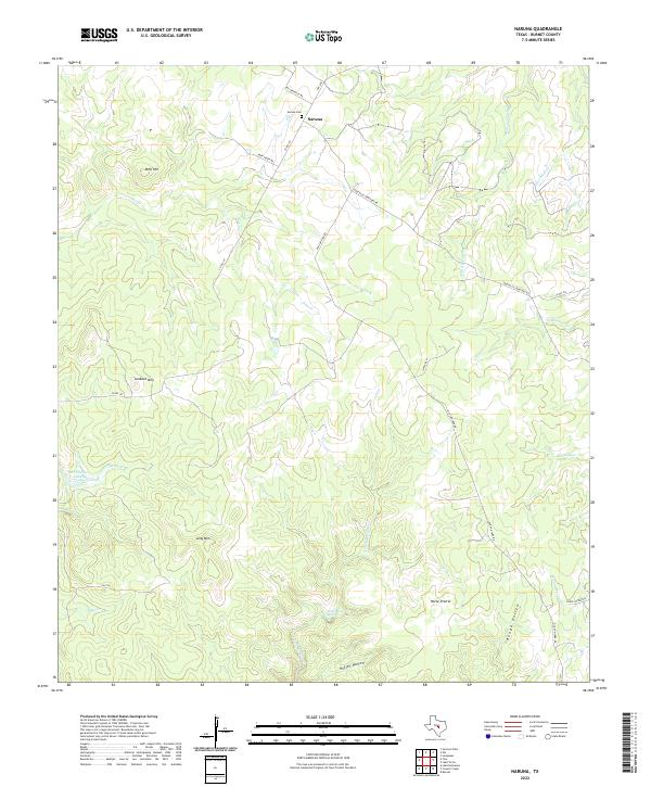
2022 Map of Naruna
USGS Topo · Published 2022About this map
Naruna stands as the central settlement in this portion of Burnet County, anchored by the Naruna Cem along McCreaville Rd. The landscape is defined by its drainages and prominent rises, where the waters of Deer Cr and Pecan Spring Br carve through the limestone terrain. Elevations reach notable heights at Lookout Mtn, Wolf Hill, and the elongated ridge of Long Mtn, providing natural vantage points over the surrounding ranch land. To the south, the terrain levels into the open expanse of Horse Prairie, while secluded hollows like Hoffer Hollow and Rough Hollow provide natural drainage toward S Fork Morgan Cr. This 2022 survey illustrates the enduring rural character of the Texas Hill Country, where modern thoroughfares like FM 2341 and Old San Saba Rd follow historical corridors through a network of creeks and springs.
Find a feature on this map
29 named features on this map. Tap any name to fly to it.
Don’t see what you’re looking for? This feature index may not catch every label — zoom into the map to look around manually.
Map Details
Editions of this 2022 Naruna Map
This is the sole edition of this map. No revisions or reprints were ever made.
Other maps of this area

1887 · Lampasas
USGS Topo · 1:125,000

1887 · Burnet
USGS Topo · 1:125,000

1893 · Burnet
USGS Topo · 1:125,000

1894 · Lampasas
USGS Topo · 1:125,000

1903 · Burnet
USGS Topo · 1:125,000

1909 · Burnet
USGS Topo · 1:125,000
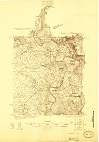
1925 · Burnet 2-c
USGS Topo · 1:48,000

1932 · Tow
USGS Topo · 1:62,500

1954 · Brownwood
USGS Topo · 1:250,000

1954 · Lampasas
USGS Topo · 1:62,500