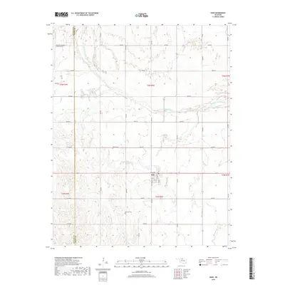
2018 Map of Nash
USGS Topo · Published 2018About this map
Nash serves as the central settlement in this portion of Grant County, situated at the intersection of local routes that traverse the agricultural landscape. The town’s grid is clearly defined, with streets like Nash and Nash providing a sense of the community's domestic and commercial core. To the north, the Salt Fork Arkansas River meanders across the territory, its course and surrounding wetlands shaping the local drainage patterns and land use. The map illustrates a rural environment where the geometry of section lines and gravel roads contrasts with the fluid movement of the river, offering a detailed look at the 2018 configuration of this Oklahoma farming region.
Find a feature on this map
2 named features on this map. Tap any name to fly to it.
Don’t see what you’re looking for? This feature index may not catch every label — zoom into the map to look around manually.
Map Details
Editions of this 2018 Nash Map
This is the sole edition of this map. No revisions or reprints were ever made.
Other maps of this area

1955 · Enid
USGS Topo · 1:250,000

1955 · Woodward
USGS Topo · 1:250,000

1958 · Enid
USGS Topo · 1:250,000

1958 · Woodward
USGS Topo · 1:250,000

1968 · Hillsdale
USGS Topo · 1:24,000

1968 · Pond Creek NW
USGS Topo · 1:24,000

1968 · Wakita SW
USGS Topo · 1:24,000

1969 · Jet
USGS Topo · 1:24,000

1969 · Goltry
USGS Topo · 1:24,000

1969 · Nash
USGS Topo · 1:24,000