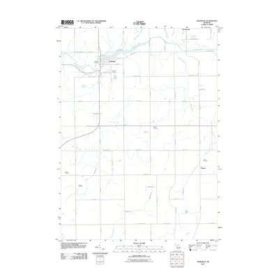
2011 Map of Nashville
USGS Topo · Published 2011About this map
The Thornapple River winds through this southern Michigan landscape, anchoring the village of Nashville and its historic core. A detailed look at the 2011 topography reveals a community shaped by its waterways and agricultural roots, with the Nashville Post Office serving as a central landmark. The rural surroundings are dotted with legacy sites essential for genealogical research, including the Nashville Cemetery, Mason Cemetery, and the Wilcox Cemetery further south.
Find a feature on this map
62 named features on this map. Tap any name to fly to it.
Don’t see what you’re looking for? This feature index may not catch every label — zoom into the map to look around manually.
Map Details
Editions of this 2011 Nashville Map
This is the sole edition of this map. No revisions or reprints were ever made.
Other maps of this area

1918 · Battle Creek
USGS Topo · 1:62,500

1921 · Marshall
USGS Topo · 1:62,500

1923 · Marshall
USGS Topo · 1:62,500

1943 · Battle Creek
USGS Topo · 1:62,500

1943 · Marshall
USGS Topo · 1:62,500

1947 · Bellevue
USGS Topo · 1:24,000

1947 · Bedford
USGS Topo · 1:24,000

1949 · Charlotte
USGS Topo · 1:62,500

1950 · Battle Creek
USGS Topo · 1:62,500

1950 · Nashville
USGS Topo · 1:62,500