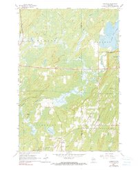
1965 Map of Nashville
USGS Topo · Published 1990About this map
Monico and the surrounding townships of Schoepke and Nashville define this landscape of the mid-1960s, where the timber and rail industries have left a clear mark on the terrain. The Chicago and North Western tracks cut through the northern reach of the quadrangle, while an Old Railroad Grade further south indicates the shifting infrastructure of the Northwoods. Small settlements like Jennings and Lennox are central to the local history of this area, often centered around community landmarks such as St Marys Cem and the Wolfgram Cem.
Find a feature on this map
29 named features on this map. Tap any name to fly to it.
Don’t see what you’re looking for? This feature index may not catch every label — zoom into the map to look around manually.
Map Details
Editions of this 1965 Nashville Map
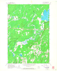
2 editions found
Other maps of this area

1939 · Crandon
USGS Topo · 1:48,000

1940 · Monico
USGS Topo · 1:48,000

1941 · Crandon
USGS Topo · 1:48,000

1942 · Elcho
USGS Topo · 1:48,000

1942 · Pearson
USGS Topo · 1:48,000

1947 · Crandon
USGS Topo · 1:48,000

1950 · Monico
USGS Topo · 1:48,000

1950 · Elcho
USGS Topo · 1:48,000

1950 · Lily
USGS Topo · 1:48,000

1954 · Iron Mountain
USGS Topo · 1:250,000