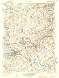
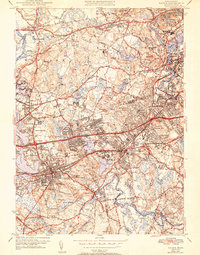
1943 Map of Natick
USGS Topo · Published 1943About this map
The Sudbury River and Charles River define the hydraulic character of this suburbanizing landscape west of Boston in the early 1940s. The map illustrates a dense concentration of educational and social institutions, with the sprawling campuses of Wellesley College, Regis College, and the Babson Institute marking significant land use outside the primary residential cores. The transportation network is dominated by the Boston and Albany railroad lines and the established Worcester Turnpike, which fueled the growth of villages like Wellesley Hills and Auburndale. Local life is anchored by family-centered landmarks such as Morse Hospital and the Walnut Hill Sch in Natick, while numerous cemeteries like Dell Cem and Woodlawn Cem provide essential data points for genealogical research. The transition from town centers to wooded hills like Maugus Hill and Reeves Hill reveals the region's mid-century topography before modern highway expansion.
Find a feature on this map
76 named features on this map. Tap any name to fly to it.
Don’t see what you’re looking for? This feature index may not catch every label — zoom into the map to look around manually.
Map Details
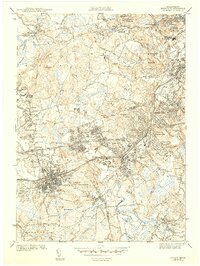
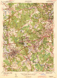
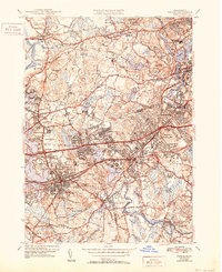
Editions of this 1943 Natick Map
5 editions found
Other maps of this area

1886 · Dedham
USGS Topo · 1:62,500

1886 · Framingham
USGS Topo · 1:62,500

1887 · Franklin
USGS Topo · 1:62,500

1889 · Franklin
USGS Topo · 1:62,500

1889 · Framingham
USGS Topo · 1:62,500

1893 · Franklin
USGS Topo · 1:62,500

1893 · Boston
USGS Topo · 1:62,500

1894 · Dedham
USGS Topo · 1:62,500

1894 · Framingham
USGS Topo · 1:62,500

1903 · Boston
USGS Topo · 1:62,500