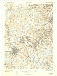
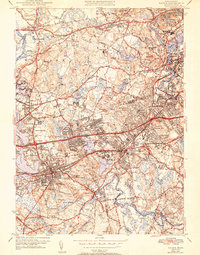
1943 Map of Natick
USGS Topo · Published 1943About this map
Academic institutions and burgeoning suburban centers define this 1940s landscape west of Boston. The quadrangle centers on the prestigious grounds of Wellesley College and the Babson Institute, while further north, Regis College and Middlesex University mark the era's educational expansion. The Boston and Maine and other rail lines connect established towns like Natick and Wellesley, which are shown with significant residential detail. Natural features such as Lake Waban, Lake Cochituate, and the winding Charles River provide a geographical framework for the dense network of local roads including the historic Boston Post Road. Numerous family and community landmarks, including Morse Hospital and several burial grounds like North Natick Cem and Farmers Cem, offer specific points of interest for genealogists tracking the mid-century development of these Middlesex and Norfolk County communities.
Find a feature on this map
86 named features on this map. Tap any name to fly to it.
Don’t see what you’re looking for? This feature index may not catch every label — zoom into the map to look around manually.
Map Details
Editions of this 1943 Natick Map
5 editions found
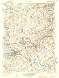
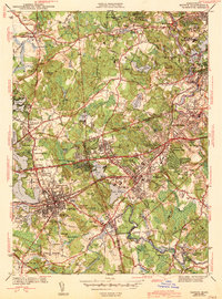
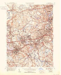
Other maps of this area

1886 · Dedham
USGS Topo · 1:62,500

1886 · Framingham
USGS Topo · 1:62,500

1887 · Franklin
USGS Topo · 1:62,500

1889 · Franklin
USGS Topo · 1:62,500

1889 · Framingham
USGS Topo · 1:62,500

1893 · Franklin
USGS Topo · 1:62,500

1893 · Boston
USGS Topo · 1:62,500

1894 · Dedham
USGS Topo · 1:62,500

1894 · Framingham
USGS Topo · 1:62,500

1903 · Boston
USGS Topo · 1:62,500