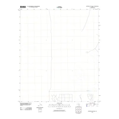
2010 Map of Nations East Well
USGS Topo · Published 2010About this map
The arid landscape of El Paso County is captured here in 2010, showing a sparsely populated expanse of West Texas where land use is defined by water management and a nascent grid of residential development. The southeastern corner reveals a network of roads beginning to take shape, contrasted against the open range and dry washes typical of the region. Notable hydrological features include East Tank, a essential landmark for water catchment in this desert environment. Human activity is further evidenced by named routes such as Buckwheat, which provides access through the scrubland. This survey reflects the quiet expansion of the El Paso area as modern infrastructure reaches into the desert, while traditional desert features remain the primary landmarks.
Find a feature on this map
2 named features on this map. Tap any name to fly to it.
Don’t see what you’re looking for? This feature index may not catch every label — zoom into the map to look around manually.
Map Details
Editions of this 2010 Nations East Well Map
This is the sole edition of this map. No revisions or reprints were ever made.
Other maps of this area

1896 · El Paso
USGS Topo · 1:125,000

1908 · El Paso
USGS Topo · 1:125,000

1939 · Heuco Tanks
USGS Topo · 1:62,500

1940 · Heuco Tanks
USGS Topo · 1:62,500

1940 · Newman
USGS Topo · 1:62,500

1941 · Desert
USGS Topo · 1:62,500

1942 · Fort Bliss
USGS Topo · 1:62,500

1943 · Desert
USGS Topo · 1:62,500

1943 · Newman
USGS Topo · 1:62,500

1944 · Heuco Tanks
USGS Topo · 1:62,500