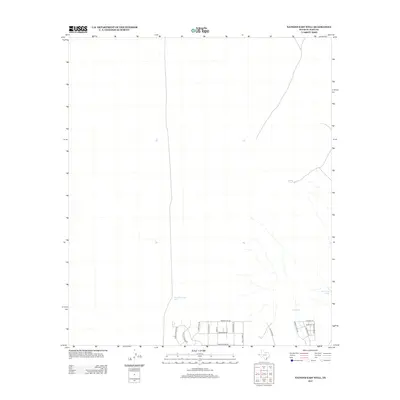
2012 Map of Nations East Well
USGS Topo · Published 2012About this map
Nations East Well serves as the namesake landmark for this arid corner of El Paso County, where development begins to push into the desert landscape. To the south, a grid of residential streets appears, featuring thematic names like Sam Hawken Rd, Derringer Rd, and Remington Rd, indicating a contemporary expansion of the El Paso outskirts. This transition from open range to suburban infrastructure is a defining characteristic of the area during this period. The landscape is dotted with vital water management features necessary for life in the high desert, including East Tank and San Juan Tank, which support the few remaining natural drainage patterns like Buckwheat. The presence of these reservoirs alongside new thoroughfares such as Desert Willow Dr illustrates the evolving use of the Texas borderlands as they move from ranching roots toward modern residential use.
Find a feature on this map
19 named features on this map. Tap any name to fly to it.
Don’t see what you’re looking for? This feature index may not catch every label — zoom into the map to look around manually.
Map Details
Editions of this 2012 Nations East Well Map
This is the sole edition of this map. No revisions or reprints were ever made.
Other maps of this area

1896 · El Paso
USGS Topo · 1:125,000

1908 · El Paso
USGS Topo · 1:125,000

1939 · Heuco Tanks
USGS Topo · 1:62,500

1940 · Heuco Tanks
USGS Topo · 1:62,500

1940 · Newman
USGS Topo · 1:62,500

1941 · Desert
USGS Topo · 1:62,500

1942 · Fort Bliss
USGS Topo · 1:62,500

1943 · Desert
USGS Topo · 1:62,500

1943 · Newman
USGS Topo · 1:62,500

1944 · Heuco Tanks
USGS Topo · 1:62,500