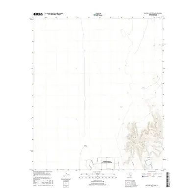
2016 Map of Nations East Well
USGS Topo · Published 2016About this map
Homestead Meadows North occupies the southern reach of this arid landscape, where a residential street grid meets the open desert. The settlement is defined by local thoroughfares such as Remington Rd and Cruz Tierra St, indicating the suburban expansion of the El Paso area in the mid-2010s. North of this development, the terrain remains largely open, marked only by the namesake Nations East Well and several essential water sources including Tiger Tank and Corral Tank. These tanks and wells underscore the historical and continuing importance of water management in this Chihuahuan Desert environment. To the east, the topography rises sharply, featuring significant elevation changes near San Juan Tank and East Tank, illustrating the transition from flat residential zones to the more complex relief of the nearby uplands.
Find a feature on this map
19 named features on this map. Tap any name to fly to it.
Don’t see what you’re looking for? This feature index may not catch every label — zoom into the map to look around manually.
Map Details
Editions of this 2016 Nations East Well Map
This is the sole edition of this map. No revisions or reprints were ever made.
Other maps of this area

1896 · El Paso
USGS Topo · 1:125,000

1908 · El Paso
USGS Topo · 1:125,000

1939 · Heuco Tanks
USGS Topo · 1:62,500

1940 · Heuco Tanks
USGS Topo · 1:62,500

1940 · Newman
USGS Topo · 1:62,500

1941 · Desert
USGS Topo · 1:62,500

1942 · Fort Bliss
USGS Topo · 1:62,500

1943 · Desert
USGS Topo · 1:62,500

1943 · Newman
USGS Topo · 1:62,500

1944 · Heuco Tanks
USGS Topo · 1:62,500