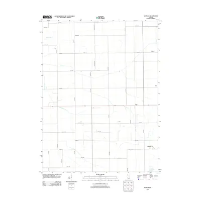
2012 Map of Natrona
USGS Topo · Published 2012About this map
The agricultural landscape of Mason County is defined by a rigorous grid of section-line roads and an extensive network of drainage improvements. Settlements like Allen and Natrona serve as focal points in a region where water management is critical for cultivation, evidenced by the prominent Waldmeier Ditch, Main Ditch, and Allens Grove Ditch that channel runoff through the prairie. Genealogists will find the rural Albright Cem near the intersection of Co Rd-3300 and Co Rd-2000, while the Bratt Cem sits on the eastern edge of the quadrangle. In the south, Norton Lake provides a rare natural water feature amidst a terrain dominated by surveyed roads like Winkel Rd and Wagonseller Rd. The map illustrates the 2012 state of this farming community, where small hamlets like Winkel persist as markers of local identity.
Find a feature on this map
44 named features on this map. Tap any name to fly to it.
Don’t see what you’re looking for? This feature index may not catch every label — zoom into the map to look around manually.
Map Details
Editions of this 2012 Natrona Map
This is the sole edition of this map. No revisions or reprints were ever made.
Other maps of this area

1929 · Manito
USGS Topo · 1:62,500

1932 · Manito
USGS Topo · 1:62,500

1933 · Petersburg
USGS Topo · 1:62,500

1938 · Petersburg
USGS Topo · 1:62,500

1942 · Delavan
USGS Topo · 1:62,500

1948 · Mason City
USGS Topo · 1:62,500

1949 · Mason City
USGS Topo · 1:62,500

1958 · Peoria
USGS Topo · 1:250,000

1961 · Peoria
USGS Topo · 1:250,000

1963 · Peoria
USGS Topo · 1:250,000