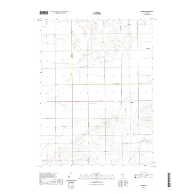
2021 Map of Natrona
USGS Topo · Published 2021About this map
Natrona and the surrounding agricultural landscape of Mason and Tazewell Counties are documented in this recent survey. The terrain is characterized by a sophisticated drainage network essential to the region's farming, including the Allens Grove Ditch, Main Ditch, and Waldmeier Ditch. These man-made channels work alongside natural features like Dry Cr and Norton Lake to manage the prairie water table. Small settlements like Allen and Winkel anchor the grid of section-line roads, such as Co Hwy 10 and Waggonseller Rd. Local history is preserved at several rural burial sites, including the Allens Grove Cem and Heyl Cem. Standing out from the flat surroundings is Buxton Hill in the southeast, a rare elevation point in an otherwise strictly surveyed and engineered landscape.
Find a feature on this map
43 named features on this map. Tap any name to fly to it.
Don’t see what you’re looking for? This feature index may not catch every label — zoom into the map to look around manually.
Map Details
Editions of this 2021 Natrona Map
This is the sole edition of this map. No revisions or reprints were ever made.
Other maps of this area

1929 · Manito
USGS Topo · 1:62,500

1932 · Manito
USGS Topo · 1:62,500

1933 · Petersburg
USGS Topo · 1:62,500

1938 · Petersburg
USGS Topo · 1:62,500

1942 · Delavan
USGS Topo · 1:62,500

1948 · Mason City
USGS Topo · 1:62,500

1949 · Mason City
USGS Topo · 1:62,500

1958 · Peoria
USGS Topo · 1:250,000

1961 · Peoria
USGS Topo · 1:250,000

1963 · Peoria
USGS Topo · 1:250,000