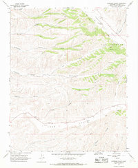
1967 Map of Nattrass Valley
USGS Topo · Published 1968About this map
Nattrass Valley and the surrounding rangelands of Monterey County are defined by a series of northwest-trending canyons and alluvial basins. The map illustrates a landscape primarily dedicated to ranching and resource extraction in the late 1960s, notably featuring the Eade No 1 landmark and numerous water tanks essential for livestock in this arid environment. The small settlement of Randall sits along San Lorenzo Creek, where the valley floors provide flat ground for transportation between the steeper terrain of Wildhorse Canyon and Hamilton Canyon.
Find a feature on this map
24 named features on this map. Tap any name to fly to it.
Don’t see what you’re looking for? This feature index may not catch every label — zoom into the map to look around manually.
Map Details
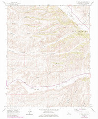
Editions of this 1967 Nattrass Valley Map
2 editions found
Other maps of this area

1912 · San Ardo
USGS Topo · 1:31,680

1915 · Priest Valley
USGS Topo · 1:125,000

1919 · King City
USGS Topo · 1:62,500

1921 · Metz
USGS Topo · 1:62,500

1939 · King City
USGS Topo · 1:62,500

1940 · Metz
USGS Topo · 1:62,500

1941 · San Ardo
USGS Topo · 1:62,500

1943 · San Ardo
USGS Topo · 1:62,500

1943 · Hernandez Valley
USGS Topo · 1:62,500

1944 · Hernandez Valley
USGS Topo · 1:62,500