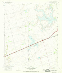
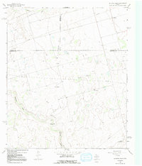
1966 Map of Natural Dam Lake
USGS Topo · Published 1968About this map
The Martin Co Howard Co line divides this West Texas landscape, dominated by a series of ephemeral salt basins and drainages. The most prominent hydrological feature is Natural Dam Lake (Salt), a large playa catchment fed by Sulphur Springs Draw and Buzzard Draw. The topography is characterized by subtle elevation changes across these drainage basins, with Indian Point standing out as a rare named terrain marker. The presence of numerous Oil Wells, Gravel Pits, and a branching network of Pipelines underscores the industrial reliance on the region's mineral and petroleum resources during the mid-1960s.
Find a feature on this map
22 named features on this map. Tap any name to fly to it.
Don’t see what you’re looking for? This feature index may not catch every label — zoom into the map to look around manually.
Map Details
Editions of this 1966 Natural Dam Lake Map
2 editions found
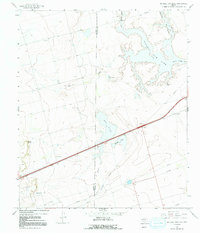
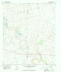
Other maps of this area

1941 · Morita
USGS Topo · 1:62,500

1949 · Morita
USGS Topo · 1:62,500

1954 · Big Spring
USGS Topo · 1:250,000

1958 · Big Spring
USGS Topo · 1:250,000
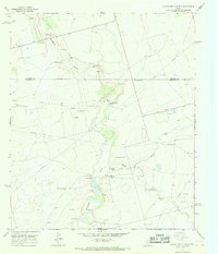
1966 · Lucian Wells Ranch
USGS Topo · 1:24,000
1966 · Knott SE
USGS Topo · 1:24,000

1966 · Elbow
USGS Topo · 1:24,000
1966 · Houston Ranch
USGS Topo · 1:24,000
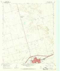
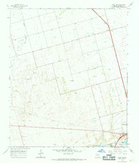
1966 · Stanton
USGS Topo · 1:24,000
1966 · Knott SW
USGS Topo · 1:24,000