
1966 Map of Stanton
USGS Topo · Published 1968About this map
Stanton serves as the focal point of this mid-1960s West Texas survey, where the town grid is defined by the Texas and Pacific railroad and major local thoroughfares like St Elizabeth and Beauregard. The map reveals a community supported by diverse institutions, including a Convent, a Hospital, and a High School, reflecting its role as a regional hub in Martin County.
Find a feature on this map
24 named features on this map. Tap any name to fly to it.
Don’t see what you’re looking for? This feature index may not catch every label — zoom into the map to look around manually.
Map Details
Editions of this 1966 Stanton Map
This is the sole edition of this map. No revisions or reprints were ever made.
Other maps of this area

1941 · Morita
USGS Topo · 1:62,500

1949 · Morita
USGS Topo · 1:62,500

1954 · Big Spring
USGS Topo · 1:250,000

1958 · Big Spring
USGS Topo · 1:250,000

1966 · Lenorah West
USGS Topo · 1:24,000

1966 · Natural Dam Lake
USGS Topo · 1:24,000

1966 · Germania
USGS Topo · 1:24,000
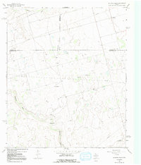
1966 · Houston Ranch
USGS Topo · 1:24,000

1966 · Knott SW
USGS Topo · 1:24,000
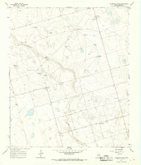
1966 · Dickenson Ranch
USGS Topo · 1:24,000