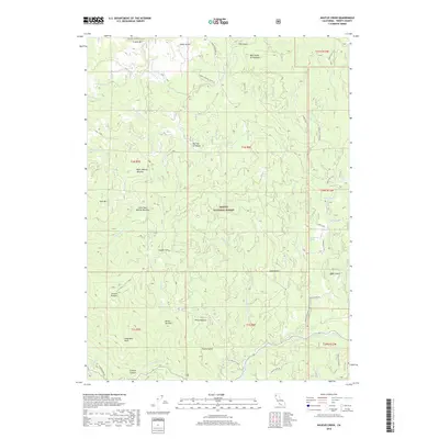
2018 Map of Naufus Creek
USGS Topo · Published 2018About this map
Trinity National Forest defines this high-elevation landscape, where seasonal flats and pastures served as vital landmarks for early travelers and rangers. Points of interest like Big Flat of Naufus and Petes Pasture highlight the transition between dense timber and open grazing lands. The geography is characterized by dramatic elevation shifts, from the heights of Friend Mtn and Irish Mtn down to the carved corridor of the S Fork Trinity River at the southern edge.
Find a feature on this map
56 named features on this map. Tap any name to fly to it.
Don’t see what you’re looking for? This feature index may not catch every label — zoom into the map to look around manually.
Map Details
Editions of this 2018 Naufus Creek Map
This is the sole edition of this map. No revisions or reprints were ever made.
Other maps of this area

1909 · Big Bar
USGS Topo · 1:96,000

1915 · Big Bar and Vicinity
USGS Topo · 1:250,000

1918 · Anada
USGS Topo · 1:62,500

1931 · Hoaglin
USGS Topo · 1:96,000

1935 · Hoaglin
USGS Topo · 1:125,000

1951 · Hayfork
USGS Topo · 1:62,500

1951 · Hyampom
USGS Topo · 1:62,500

1954 · Pickett Peak
USGS Topo · 1:62,500

1954 · Dubakella Mtn
USGS Topo · 1:62,500

1958 · Redding
USGS Topo · 1:250,000