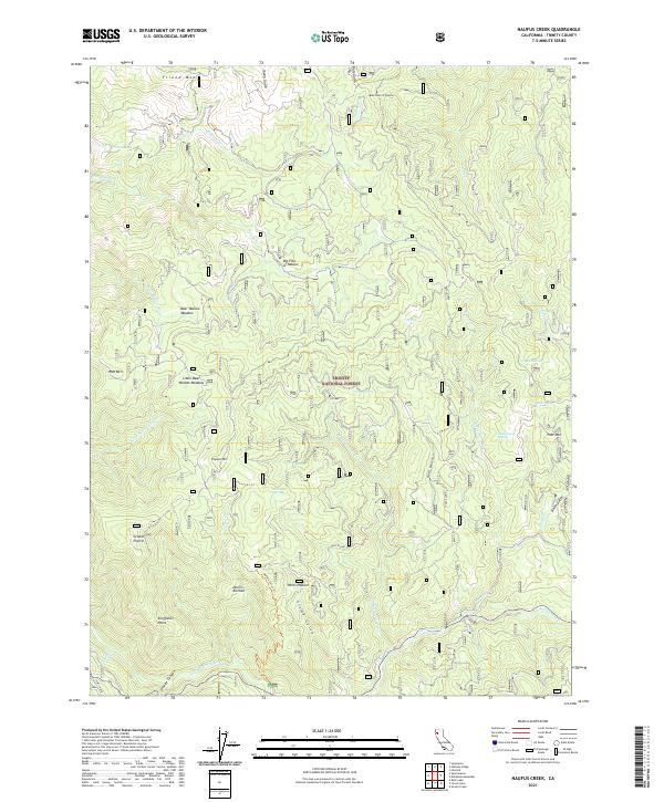
2021 Map of Naufus Creek
USGS Topo · Published 2021About this map
Trinity National Forest encompasses this high-elevation landscape, where the headwaters of numerous creeks carve through the terrain of the southern Klamath Mountains. The Trinity Wild and Scenic River defines the southern boundary, flowing past Granite Canyon and Kingfisher Point. Human activity in this remote region is marked by small clearings and historical water management, evidenced by the Post Flume and the settlement at Big Flat of Naufus.
Find a feature on this map
49 named features on this map. Tap any name to fly to it.
Don’t see what you’re looking for? This feature index may not catch every label — zoom into the map to look around manually.
Map Details
Editions of this 2021 Naufus Creek Map
This is the sole edition of this map. No revisions or reprints were ever made.
Other maps of this area

1909 · Big Bar
USGS Topo · 1:96,000

1915 · Big Bar and Vicinity
USGS Topo · 1:250,000

1918 · Anada
USGS Topo · 1:62,500

1931 · Hoaglin
USGS Topo · 1:96,000

1935 · Hoaglin
USGS Topo · 1:125,000

1951 · Hayfork
USGS Topo · 1:62,500

1951 · Hyampom
USGS Topo · 1:62,500

1954 · Pickett Peak
USGS Topo · 1:62,500

1954 · Dubakella Mtn
USGS Topo · 1:62,500

1958 · Redding
USGS Topo · 1:250,000