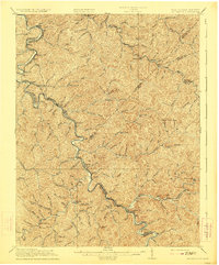
1917 Map of Naugatuck
USGS Topo · Published 1923About this map
The Tug Fork of the Big Sandy River carves a winding path along the state boundary here, separating Mingo County, West Virginia, from Martin and Lawrence Counties in Kentucky. This pre-WWI era survey reveals a landscape where the Norfolk and Western Ry dictates the location of growing river settlements like Kermit, Warfield, and Naugatuck. The railway follows the river's sharp bends, providing a vital connection for industrializing communities such as Stonecoal and Blocton.
Find a feature on this map
89 named features on this map. Tap any name to fly to it.
Don’t see what you’re looking for? This feature index may not catch every label — zoom into the map to look around manually.
Map Details
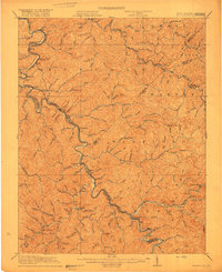
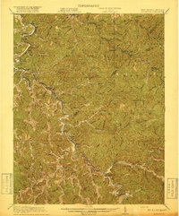
Editions of this 1917 Naugatuck Map
3 editions found
Other maps of this area

1886 · Prestonsburg
USGS Topo · 1:125,000

1887 · Warfield
USGS Topo · 1:125,000

1891 · Warfield
USGS Topo · 1:125,000

1892 · Prestonsburg
USGS Topo · 1:125,000

1892 · Huntington
USGS Topo · 1:125,000

1898 · Huntington
USGS Topo · 1:125,000

1902 · Midkiff
USGS Topo · 1:62,500

1903 · Kenova
USGS Topo · 1:125,000

1904 · Kenova
USGS Topo · 1:125,000

1907 · Midkiff
USGS Topo · 1:62,500