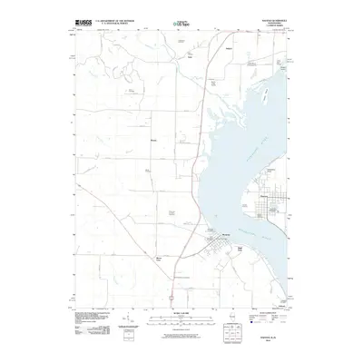
2010 Map of Nauvoo
USGS Topo · Published 2010About this map
The Mississippi River dominates this 2010 landscape, separating Nauvoo on the eastern bank from the Iowa river towns of Montrose and Galland. This riverine corridor is rich with genealogical data, specifically concentrated in small family and community burial grounds that dot the Lee County side. Sites like the Half Breed Cemetery, Rudd Cemetery, and F Simonin Grounds Cemetery suggest a history of early family landholdings and specific local settlements. In Montrose, the Montrose Post Office stands near the shore, while further inland, the small communities of Viele, Bricker, and Mount Clare reflect the agricultural layout of the region.
Find a feature on this map
69 named features on this map. Tap any name to fly to it.
Don’t see what you’re looking for? This feature index may not catch every label — zoom into the map to look around manually.
Map Details
Editions of this 2010 Nauvoo Map
This is the sole edition of this map. No revisions or reprints were ever made.
Other maps of this area

1903 · Kahoka
USGS Topo · 1:125,000

1936 · Keokuk
USGS Topo · 1:62,500

1936 · Fort Madison
USGS Topo · 1:62,500

1949 · Wayland
USGS Topo · 1:24,000

1950 · Wayland
USGS Topo · 1:24,000

1950 · Keokuk
USGS Topo · 1:62,500

1958 · Burlington
USGS Topo · 1:250,000

1961 · Burlington
USGS Topo · 1:250,000

1963 · Burlington
USGS Topo · 1:250,000
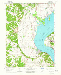
1964 · Nauvoo
USGS Topo · 1:24,000