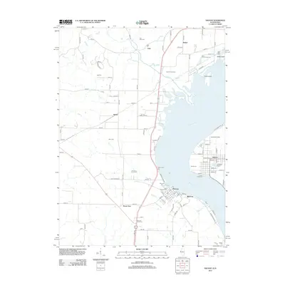
2012 Map of Nauvoo
USGS Topo · Published 2012About this map
Nauvoo and Montrose face each other across the wide reach of the Mississippi River in this detailed survey of the river valley. The landscape is heavily marked by its early settlement history, particularly through its numerous family and community burial grounds such as Saint Barnabas Cem, Smith Family Cem, and the distinctly named Half Breed Cem near Viele. These sites, along with others like Moon Cem and Rudd Cem, offer significant clues for genealogical research in this riverfront region.
Find a feature on this map
111 named features on this map. Tap any name to fly to it.
Don’t see what you’re looking for? This feature index may not catch every label — zoom into the map to look around manually.
Map Details
Editions of this 2012 Nauvoo Map
This is the sole edition of this map. No revisions or reprints were ever made.
Other maps of this area
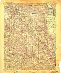
1903 · Kahoka
USGS Topo · 1:125,000
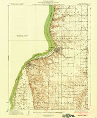
1936 · Keokuk
USGS Topo · 1:62,500
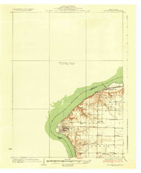
1936 · Fort Madison
USGS Topo · 1:62,500
1949 · Wayland
USGS Topo · 1:24,000
1950 · Wayland
USGS Topo · 1:24,000
1950 · Keokuk
USGS Topo · 1:62,500
1958 · Burlington
USGS Topo · 1:250,000
1961 · Burlington
USGS Topo · 1:250,000
1963 · Burlington
USGS Topo · 1:250,000
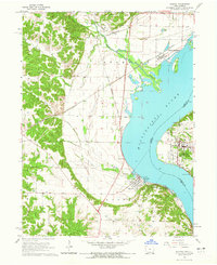
1964 · Nauvoo
USGS Topo · 1:24,000