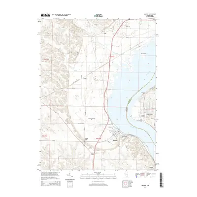
2015 Map of Nauvoo
USGS Topo · Published 2015About this map
Mississippi River frontage defines the border between Iowa and Illinois in this 2015 study, centering on the historic river towns of Nauvoo and Montrose. The Iowa shoreline is dotted with small settlements and family landmarks, including Mount Clare, Bluff Park, and the State Penitentiary Farm near Bricker. Significant genealogical detail is preserved through numerous small burial sites like the Half Breed Cem, Viele Cem, and the Smith Family Cem.
Find a feature on this map
72 named features on this map. Tap any name to fly to it.
Don’t see what you’re looking for? This feature index may not catch every label — zoom into the map to look around manually.
Map Details
Editions of this 2015 Nauvoo Map
This is the sole edition of this map. No revisions or reprints were ever made.
Other maps of this area

1903 · Kahoka
USGS Topo · 1:125,000

1936 · Keokuk
USGS Topo · 1:62,500

1936 · Fort Madison
USGS Topo · 1:62,500

1949 · Wayland
USGS Topo · 1:24,000

1950 · Wayland
USGS Topo · 1:24,000

1950 · Keokuk
USGS Topo · 1:62,500

1958 · Burlington
USGS Topo · 1:250,000

1961 · Burlington
USGS Topo · 1:250,000

1963 · Burlington
USGS Topo · 1:250,000
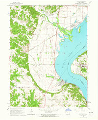
1964 · Nauvoo
USGS Topo · 1:24,000