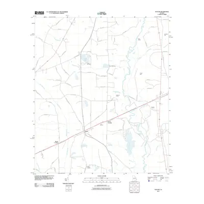
2011 Map of Naylor
USGS Topo · Published 2011About this map
The Alapaha River carves a winding path through this corner of Lowndes County, defining a landscape where river crossings and small junctions like Naylor anchor the local geography. The map reveals a network of water-dependent landmarks, from the Carter Lake Dam and Dixon Mill Bridge in the north to the Hotchkiss Bridge further downstream. These points of passage, combined with local features like The Rocks and the swampy terrain of Friars Bay, highlight the historical importance of the river corridor to rural movement and industry.
Find a feature on this map
72 named features on this map. Tap any name to fly to it.
Don’t see what you’re looking for? This feature index may not catch every label — zoom into the map to look around manually.
Map Details
Editions of this 2011 Naylor Map
This is the sole edition of this map. No revisions or reprints were ever made.
Other maps of this area

1953 · Waycross
USGS Topo · 1:250,000

1954 · Valdosta
USGS Topo · 1:250,000

1958 · Valdosta
USGS Topo · 1:250,000

1958 · Waycross
USGS Topo · 1:250,000

1959 · Valdosta
USGS Topo · 1:250,000

1968 · Naylor
USGS Topo · 1:24,000

1968 · Lakeland
USGS Topo · 1:24,000

1971 · Indianola
USGS Topo · 1:24,000

1971 · Howell
USGS Topo · 1:24,000

1971 · Stockton
USGS Topo · 1:24,000