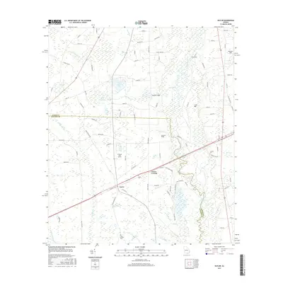
2017 Map of Naylor
USGS Topo · Published 2017About this map
Naylor and Greens Crossing anchor this 2017 study of the low-lying terrain along the Lanier Co and Lowndes Co line. The landscape is defined by the winding course of the Alapaha River, which is fed by numerous tributaries including Dixon Mill Cr, Red Oak Br, and Grand Bay Cr. The area is notably saturated with cypress bays and wetlands such as Peters Bay, Fish Pond Bay, and Bennett Bay, reflecting the hydrologic character of the Coastal Plain.
Find a feature on this map
93 named features on this map. Tap any name to fly to it.
Don’t see what you’re looking for? This feature index may not catch every label — zoom into the map to look around manually.
Map Details
Editions of this 2017 Naylor Map
This is the sole edition of this map. No revisions or reprints were ever made.
Other maps of this area

1953 · Waycross
USGS Topo · 1:250,000

1954 · Valdosta
USGS Topo · 1:250,000

1958 · Valdosta
USGS Topo · 1:250,000

1958 · Waycross
USGS Topo · 1:250,000

1959 · Valdosta
USGS Topo · 1:250,000

1968 · Naylor
USGS Topo · 1:24,000

1968 · Lakeland
USGS Topo · 1:24,000

1971 · Indianola
USGS Topo · 1:24,000

1971 · Howell
USGS Topo · 1:24,000

1971 · Stockton
USGS Topo · 1:24,000