Loading...
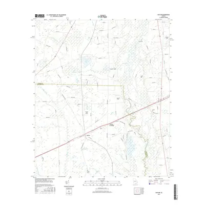
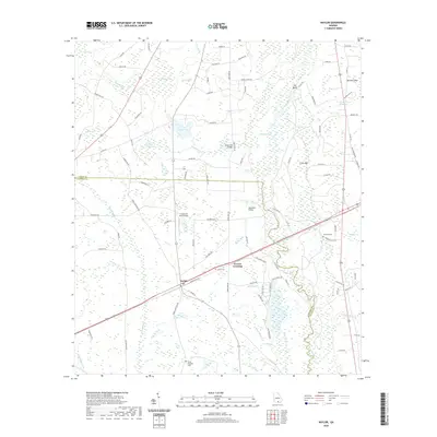
Loading map...2024 Map of Naylor
USGS Topo · Published 2024About this map
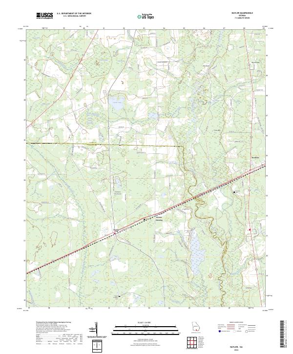
The Alapaha River meanders through this South Georgia landscape, forming the natural boundary between Lowndes and Lanier counties. The area is defined by its unique hydrography, characterized by numerous bays and ponds such as Peters Bay, Fish Pond Bay, and Owl Bay. These wetlands are interspersed with small agrarian and transit-focused settlements, most notably the community of Naylor and the nearby Stockton.
Find a feature on this map
92 named features on this map. Tap any name to fly to it.
Don’t see what you’re looking for? This feature index may not catch every label — zoom into the map to look around manually.
Map Details
Date Portrayed2024
Date Published2024
PublisherU.S. Geological Survey
Map TypeTopographic
Scale1:24,000
Physical Dimensions24 x 29 inches
Editions of this 2024 Naylor Map
This is the sole edition of this map. No revisions or reprints were ever made.
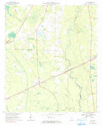
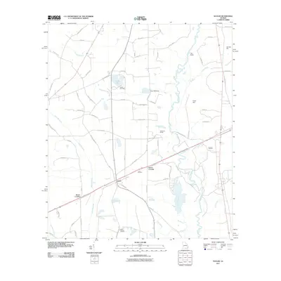
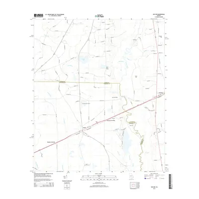
Historical Maps of Monks Crossing Through Time
6 maps found
Featured Locations
Source Details
SourceU.S. Geological Survey
CopyrightPublic Domain