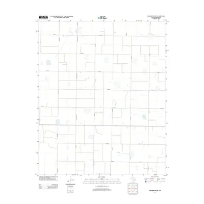
2012 Map of Nazareth SW
USGS Topo · Published 2012About this map
Ranch Road 2567 anchors a strictly organized agricultural grid in this southwestern portion of Castro County. The landscape is characterized by its high-plains geography, defined by a network of local routes such as Co Rd-610 and Co Rd-614 that partition the land into precise sections. Numerous ephemeral playa lakes are scattered throughout the quadrangle, appearing as small depressions in the terrain between corridors like Co Rd-519 and Co Rd-521. The absence of dense town sites highlights the area's rural character, where the primary infrastructure consists of access roads for ranching and farming operations that have shaped this part of the Panhandle for generations.
Find a feature on this map
15 named features on this map. Tap any name to fly to it.
Don’t see what you’re looking for? This feature index may not catch every label — zoom into the map to look around manually.
Map Details
Editions of this 2012 Nazareth SW Map
This is the sole edition of this map. No revisions or reprints were ever made.
Other maps of this area

1954 · Clovis
USGS Topo · 1:250,000

1958 · Clovis
USGS Topo · 1:250,000

1962 · Dodd NE
USGS Topo · 1:24,000

1963 · Hart NW
USGS Topo · 1:24,000

1965 · Dimmitt
USGS Topo · 1:24,000

1965 · Hart
USGS Topo · 1:24,000

1965 · Nazareth SW
USGS Topo · 1:24,000

1965 · Nazareth
USGS Topo · 1:24,000

1966 · Jumbo
USGS Topo · 1:24,000

1966 · Nazareth NW
USGS Topo · 1:24,000