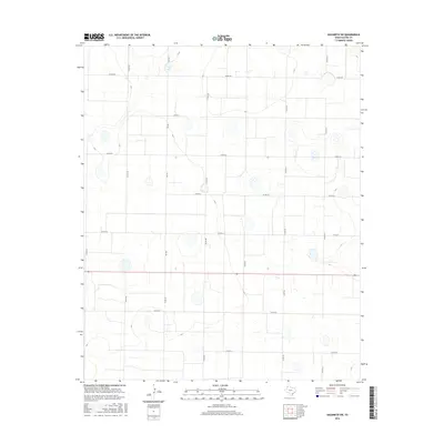
2016 Map of Nazareth SW
USGS Topo · Published 2016About this map
Agricultural patterns and a strict rectangular road network define this landscape in Castro County during the mid-2010s. The region is largely dominated by expansive farm tracts, intersected by significant transit routes such as Fm 2567 and Fm 1567. These farm-to-market roads serve as the primary conduits through the panhandle plains, connecting isolated farmsteads to larger regional hubs.
Find a feature on this map
16 named features on this map. Tap any name to fly to it.
Don’t see what you’re looking for? This feature index may not catch every label — zoom into the map to look around manually.
Map Details
Editions of this 2016 Nazareth SW Map
This is the sole edition of this map. No revisions or reprints were ever made.
Other maps of this area

1954 · Clovis
USGS Topo · 1:250,000

1958 · Clovis
USGS Topo · 1:250,000

1962 · Dodd NE
USGS Topo · 1:24,000

1963 · Hart NW
USGS Topo · 1:24,000

1965 · Dimmitt
USGS Topo · 1:24,000

1965 · Hart
USGS Topo · 1:24,000

1965 · Nazareth SW
USGS Topo · 1:24,000

1965 · Nazareth
USGS Topo · 1:24,000

1966 · Jumbo
USGS Topo · 1:24,000

1966 · Nazareth NW
USGS Topo · 1:24,000