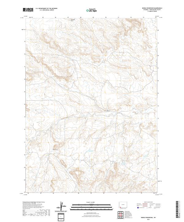
2021 Map of Needle Reservoir
USGS Topo · Published 2021About this map
Needle Reservoir and Badlands Reservoir define the water management landscape of this Sweetwater County high-desert terrain. The map documents a network of ephemeral drainages and reservoirs essential for ranching and wildlife in a region marked by significant elevation changes, from the prominent Antelope Knoll in the north to the deeply etched channels of Tin Can Draw and Cattail Draw. This 2021 survey illustrates how modern infrastructure, including the central Big Hollow Reservoir, interacts with the traditional Public Land Survey System grid of Townships 15 and 16 North. The scarcity of permanent settlements highlights the area's specialized use for resource and water conservation.
Find a feature on this map
10 named features on this map. Tap any name to fly to it.
Don’t see what you’re looking for? This feature index may not catch every label — zoom into the map to look around manually.
Map Details
Editions of this 2021 Needle Reservoir Map
This is the sole edition of this map. No revisions or reprints were ever made.
Other maps of this area

1954 · Ogden
USGS Topo · 1:250,000

1954 · Rock Springs
USGS Topo · 1:250,000

1958 · Ogden
USGS Topo · 1:250,000

1958 · Rock Springs
USGS Topo · 1:250,000

1960 · Ogden
USGS Topo · 1:250,000

1962 · Rock Springs
USGS Topo · 1:250,000

1964 · Butcher Knife Draw
USGS Topo · 1:24,000

1964 · Soap Holes Reservoir
USGS Topo · 1:24,000

1964 · Antelope Knoll NE
USGS Topo · 1:24,000

1964 · Black Spring Reservoir
USGS Topo · 1:24,000