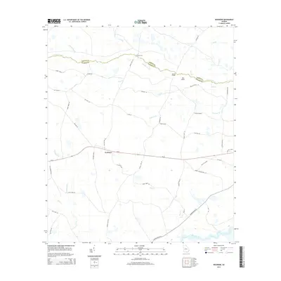
2014 Map of Needmore
USGS Topo · Published 2014About this map
Needmore serves as the central settlement on this South Georgia landscape, situated at the intersection of Ga-94 and Mattox Ford Rd. The area is defined by the complex hydrology of the lower coastal plain, where the Suwannee River flows through the southern reaches and numerous named drainages like Suwannoochee Cr and Toms Cr carve through the terrain. Local nomenclature reveals a history of land use and navigation, with features such as Mattox Ford, Double Bridges, and several "breaks" including Turner Break and Tiger Lake Break indicating points of passage or distinct shifts in the swampy environment. A network of rural routes, including the curiously named Woodpecker Route and Cow Trail Rd, connects remote homesteads and timberlands. Family names are preserved in the road network through labels like Jack Henderson Rd, Hoss Lanier Rd, and Robert Wetherington Rd, providing valuable data for genealogical research in Echols County.
Find a feature on this map
50 named features on this map. Tap any name to fly to it.
Don’t see what you’re looking for? This feature index may not catch every label — zoom into the map to look around manually.
Map Details
Editions of this 2014 Needmore Map
This is the sole edition of this map. No revisions or reprints were ever made.
Other maps of this area

1954 · Valdosta
USGS Topo · 1:250,000

1955 · Council
USGS Topo · 1:24,000

1955 · Cypress Creek
USGS Topo · 1:24,000

1955 · Fargo SW
USGS Topo · 1:24,000

1958 · Valdosta
USGS Topo · 1:250,000

1959 · Valdosta
USGS Topo · 1:250,000

1967 · Colon
USGS Topo · 1:24,000

1967 · Fargo
USGS Topo · 1:24,000

1968 · Needmore
USGS Topo · 1:24,000

1968 · Headlight
USGS Topo · 1:24,000