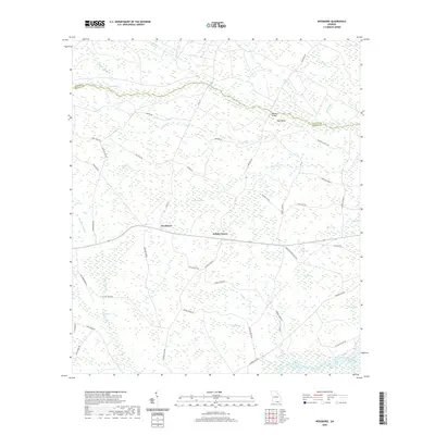
2020 Map of Needmore
USGS Topo · Published 2020About this map
The low-lying wetlands of Echols County define this landscape, where the Suwannee River flows along the southern edge of the quadrangle. The settlement of Needmore serves as a central point in a region dominated by distinctive local bay and break features, including Cowhouse Bay, Pierce Camp Bay, and Tiger Lake Break. These names, alongside Cabbage Head and Cowhouse Flats, reflect a long-standing vernacular relationship with the swampy terrain and pine flatwoods of South Georgia near the Florida border.
Find a feature on this map
60 named features on this map. Tap any name to fly to it.
Don’t see what you’re looking for? This feature index may not catch every label — zoom into the map to look around manually.
Map Details
Editions of this 2020 Needmore Map
This is the sole edition of this map. No revisions or reprints were ever made.
Other maps of this area

1954 · Valdosta
USGS Topo · 1:250,000

1955 · Council
USGS Topo · 1:24,000

1955 · Cypress Creek
USGS Topo · 1:24,000

1955 · Fargo SW
USGS Topo · 1:24,000

1958 · Valdosta
USGS Topo · 1:250,000

1959 · Valdosta
USGS Topo · 1:250,000

1967 · Colon
USGS Topo · 1:24,000

1967 · Fargo
USGS Topo · 1:24,000

1968 · Needmore
USGS Topo · 1:24,000

1968 · Headlight
USGS Topo · 1:24,000