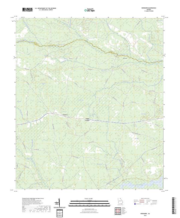
2024 Map of Needmore
USGS Topo · Published 2024About this map
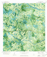
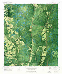
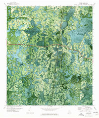
Suwannoochee Creek and the Suwannee River define this corner of south Georgia, where the border between Clinch and Echols counties follows the meandering path of the creek. The landscape is a complex mosaic of wetlands and timberland, characterized by numerous "bays" and "breaks" such as Pierce Camp Bay and Tiger Lake Break. These names point to the region's specific topographic vernacular, describing low-lying swampy depressions and transitions in the southern pine forest.
Find a feature on this map
59 named features on this map. Tap any name to fly to it.
Don’t see what you’re looking for? This feature index may not catch every label — zoom into the map to look around manually.
Map Details
Editions of this 2024 Needmore Map
This is the sole edition of this map. No revisions or reprints were ever made.
Historical Maps of Needmore Through Time
12 maps found
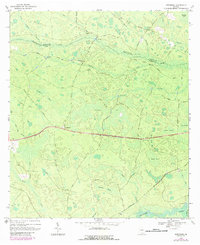
1968 Needmore
Echols County, GA
1971 Haylow
Echols County, GA
1971 Howell
Echols County, GA
1971 Pineland
Echols County, GA
1971 Statenville
Echols County, GA
1971 Tarver
Echols County, GA
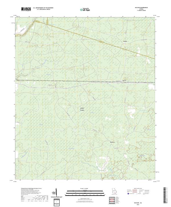
2024 Haylow
Echols County, GA
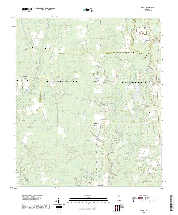
2024 Howell
Echols County, GA
2024 Needmore
Echols County, GA
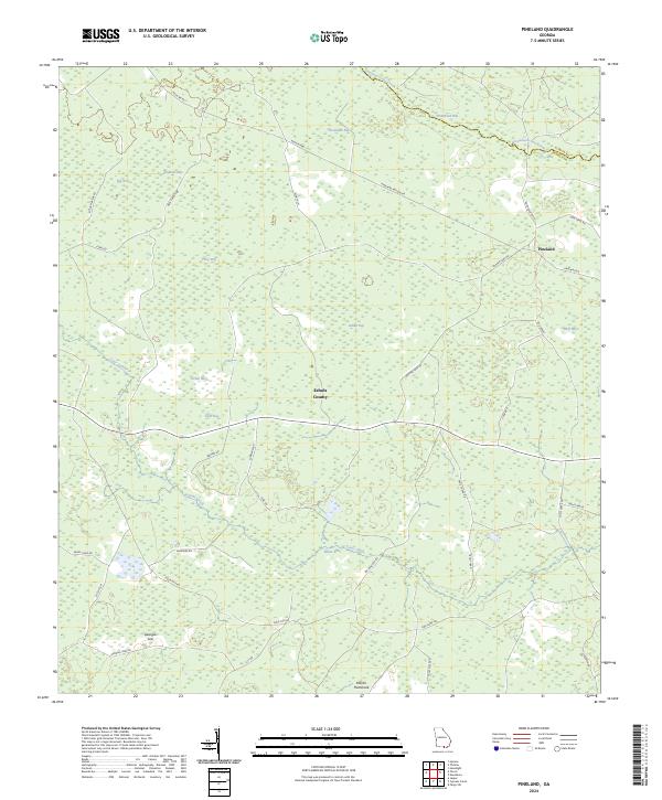
2024 Pineland
Echols County, GA
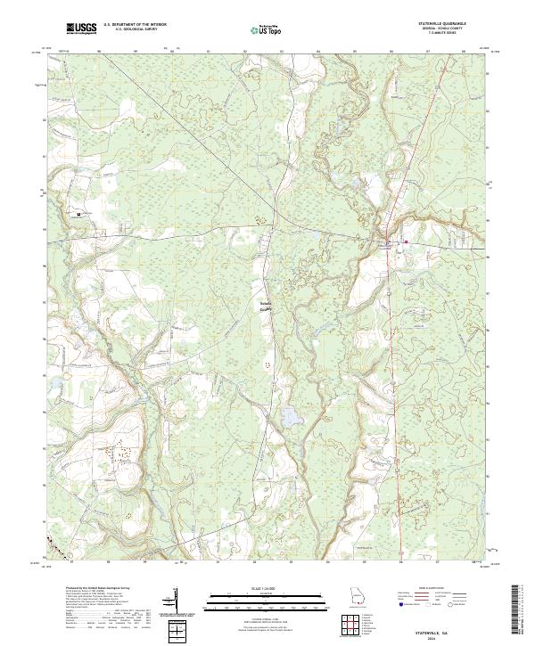
2024 Statenville
Echols County, GA
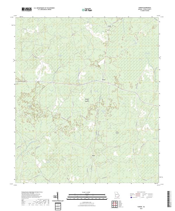
2024 Tarver
Echols County, GA