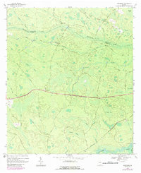
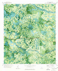
1968 Map of Needmore
USGS Topo · Published 1987About this map
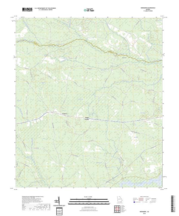
The Suwannee River and Little Suwannee River anchor the southern boundary of this landscape, where the border between Clinch and Echols counties meets. This swampy terrain is defined by a complex network of bays, drains, and creeks, including the expansive Cowhouse Bay and Wolf Bay. The small settlement of Needmore serves as a central landmark, situated along a primary route that crosses the wet flats. The presence of Pierce Camp and Weatherington Camp suggests a history of seasonal or specialized activity within the wetlands.
Find a feature on this map
48 named features on this map. Tap any name to fly to it.
Don’t see what you’re looking for? This feature index may not catch every label — zoom into the map to look around manually.
Map Details
Editions of this 1968 Needmore Map
2 editions found
Historical Maps of Needmore Through Time
36 maps found
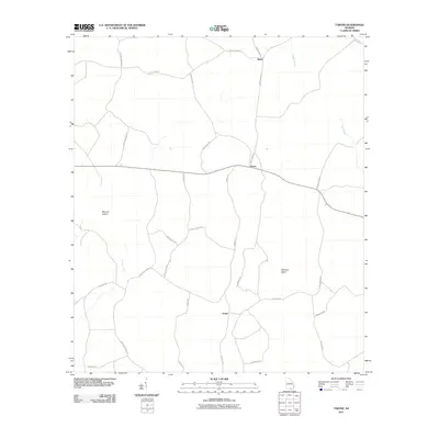
1968 Needmore
Echols County, GA
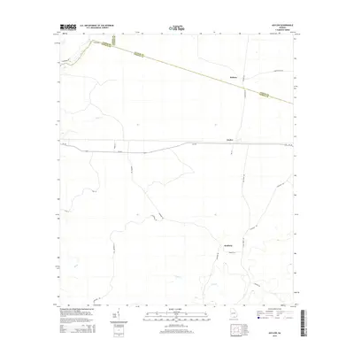
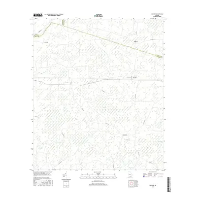
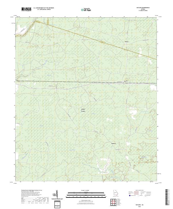
1971 Haylow
Echols County, GA
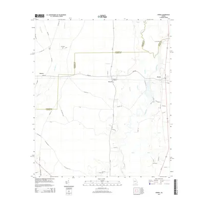
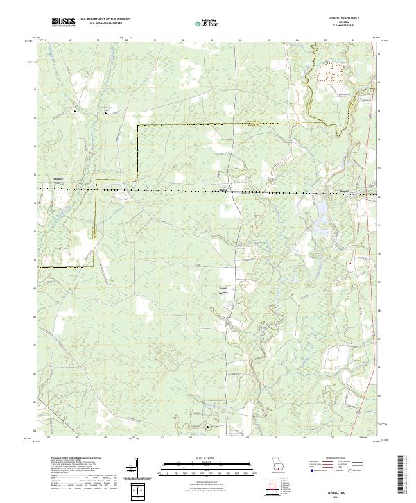
1971 Howell
Echols County, GA
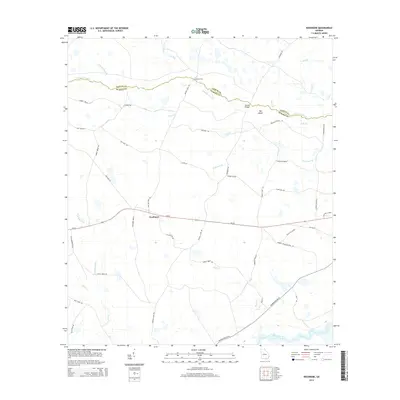
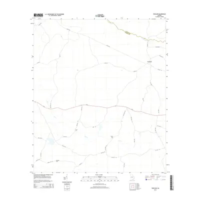
1971 Pineland
Echols County, GA
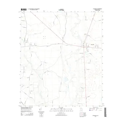
1971 Statenville
Echols County, GA
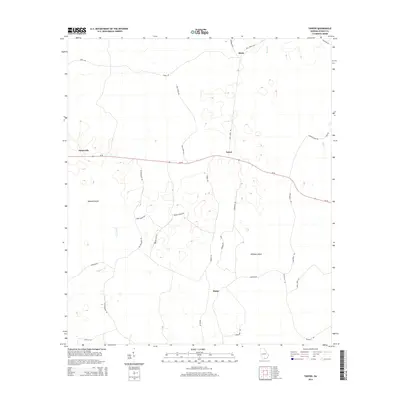
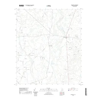
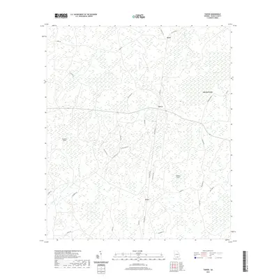
1971 Tarver
Echols County, GA
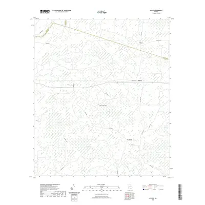
2011 Haylow
Echols County, GA
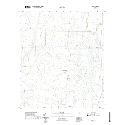
2011 Howell
Echols County, GA
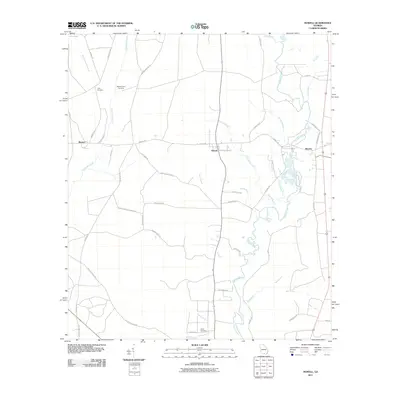
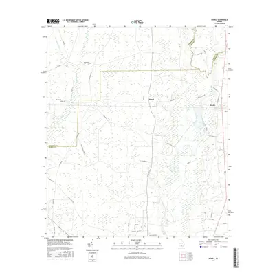
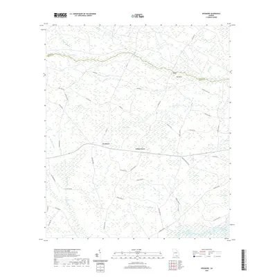
2011 Needmore
Echols County, GA
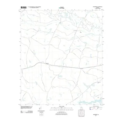
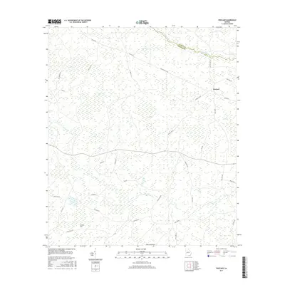
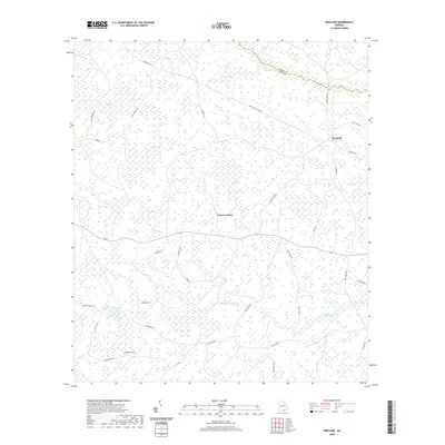
2011 Pineland
Echols County, GA
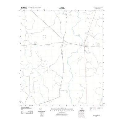
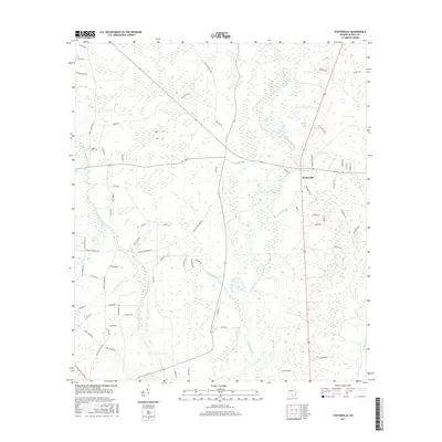
2011 Statenville
Echols County, GA
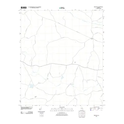
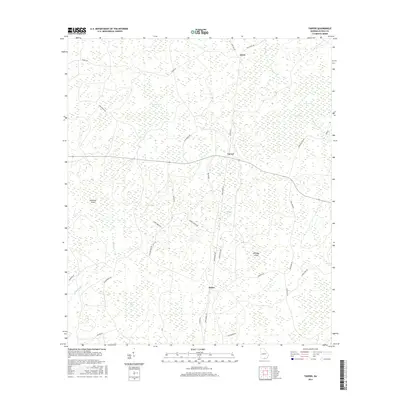
2011 Tarver
Echols County, GA
2014 Haylow
Echols County, GA
2014 Howell
Echols County, GA
2014 Needmore
Echols County, GA
2014 Pineland
Echols County, GA
2014 Statenville
Echols County, GA
2014 Tarver
Echols County, GA
2017 Haylow
Echols County, GA
2017 Howell
Echols County, GA

2017 Needmore
Echols County, GA
2017 Pineland
Echols County, GA
2017 Statenville
Echols County, GA
2017 Tarver
Echols County, GA
2020 Haylow
Echols County, GA
2020 Howell
Echols County, GA
2020 Needmore
Echols County, GA
2020 Pineland
Echols County, GA
2020 Statenville
Echols County, GA
2020 Tarver
Echols County, GA
2024 Haylow
Echols County, GA
2024 Howell
Echols County, GA
2024 Needmore
Echols County, GA
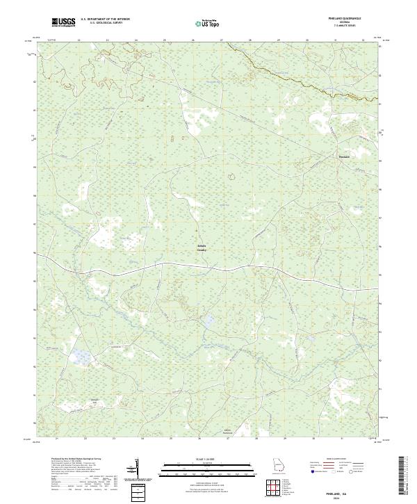
2024 Pineland
Echols County, GA
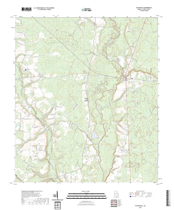
2024 Statenville
Echols County, GA
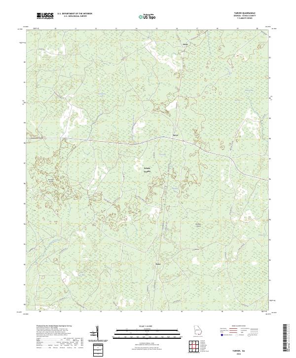
2024 Tarver
Echols County, GA