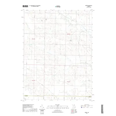
2017 Map of Neeper
USGS Topo · Published 2017About this map
Neeper sits at a crossroads of high ridges and deep-cut stream valleys in north-central Missouri, marking a landscape defined by the drainage of the Wyaconda River and the Little Wyaconda River. The settlement pattern follows the upland terrain, where State HWY W and State HWY D trace the contours of the watershed. Several family and community burial grounds, including the Schuster Cem, Old German Cem, and Carlin Cem, are preserved across the quadrangle, serving as vital markers for local genealogical research. The southern boundary of the map captures the transition from Clark County into Lewis County along the winding path of Sugar Cr. This modern survey provides a detailed view of the rural road network, from state highways to local routes like 100th St and 187th Ave, illustrating the enduring agricultural character of the region.
Find a feature on this map
26 named features on this map. Tap any name to fly to it.
Don’t see what you’re looking for? This feature index may not catch every label — zoom into the map to look around manually.
Map Details
Editions of this 2017 Neeper Map
This is the sole edition of this map. No revisions or reprints were ever made.
Other maps of this area

1903 · Kahoka
USGS Topo · 1:125,000

1949 · Kahoka
USGS Topo · 1:24,000

1949 · St. Patrick
USGS Topo · 1:24,000

1950 · Kahoka
USGS Topo · 1:24,000

1950 · Saint Patrick
USGS Topo · 1:24,000

1950 · Neeper
USGS Topo · 1:24,000

1950 · Benjamin
USGS Topo · 1:24,000

1950 · Williamstown
USGS Topo · 1:24,000

1950 · Medill
USGS Topo · 1:24,000

1950 · Colony
USGS Topo · 1:24,000