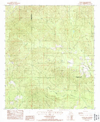
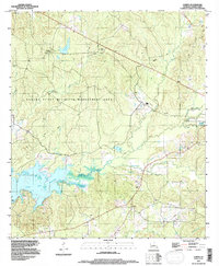
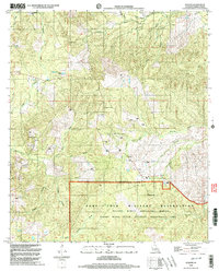
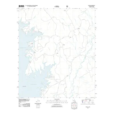
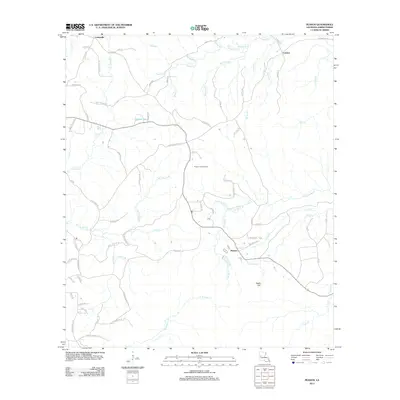
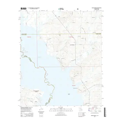
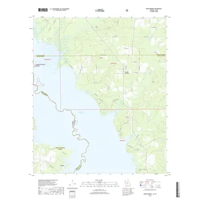
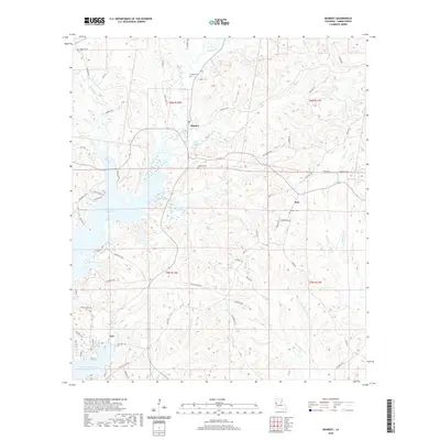
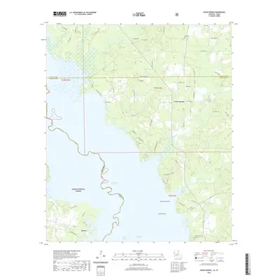
1985 Map of Negreet
USGS Topo · Published 1985About this map
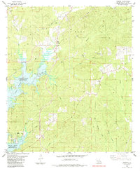
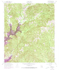
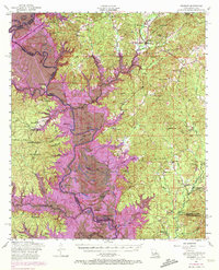
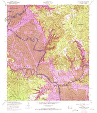
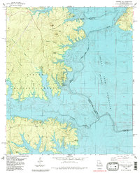
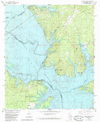
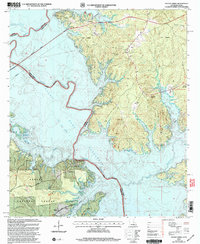
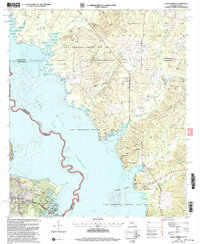
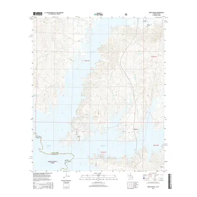
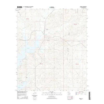
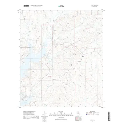
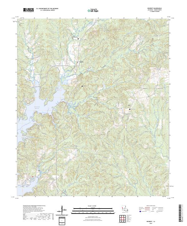
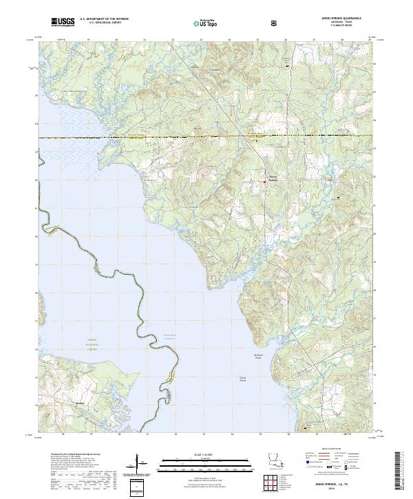
The western reaches of Sabine Parish are defined here by the extensive waters of the Toledo Bend Reservoir, which submerged the lower elevations of the landscape in the mid-20th century. This 1985 survey illustrates the resulting shoreline where Bayou Negreet meets the main body of the reservoir, creating a complex network of inlets and peninsulas. The settlement at Negreet serves as a central point for the local community, which is geographically anchored by several country churches and family burial grounds, including Zion Hill Ch and Carroll Cem.
Find a feature on this map
35 named features on this map. Tap any name to fly to it.
Don’t see what you’re looking for? This feature index may not catch every label — zoom into the map to look around manually.
Map Details
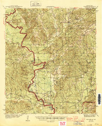
Editions of this 1985 Negreet Map
This is the sole edition of this map. No revisions or reprints were ever made.
Historical Maps of Esto Through Time
59 maps found
1944 Negreet
Sabine Parish, LA
1954 Negreet
Sabine Parish, LA
1954 Negreet
Sabine Parish, LA

1954 Peason
Sabine Parish, LA
1954 Salter Creek
Sabine Parish, LA
1954 Toro
Sabine Parish, LA
1984 Beech Bayou
Sabine Parish, LA
1984 Union Springs
Sabine Parish, LA
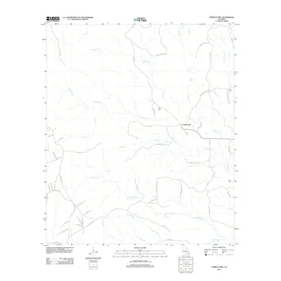
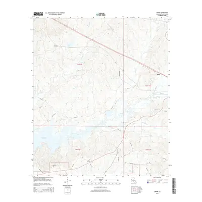
1985 Negreet
Sabine Parish, LA
1985 Negreet SW
Sabine Parish, LA
1985 Salter Creek
Sabine Parish, LA
1985 Toro
Sabine Parish, LA
1988 Loring
Sabine Parish, LA
1988 Vowells Mill
Sabine Parish, LA
1994 Loring
Sabine Parish, LA
1998 Peason
Sabine Parish, LA
2003 Beech Bayou
Sabine Parish, LA
2003 Salter Creek
Sabine Parish, LA
2003 Union Springs
Sabine Parish, LA
2010 Beech Bayou
Sabine Parish, LA
2010 Salter Creek
Sabine Parish, LA
2010 Toro
Sabine Parish, LA
2010 Union Springs
Sabine Parish, LA
2012 Loring
Sabine Parish, LA
2012 Negreet
Sabine Parish, LA
2012 Peason
Sabine Parish, LA
2012 Vowells Mill
Sabine Parish, LA
2015 Beech Bayou
Sabine Parish, LA
2015 Loring
Sabine Parish, LA
2015 Negreet
Sabine Parish, LA
2015 Peason
Sabine Parish, LA
2015 Salter Creek
Sabine Parish, LA
2015 Toro
Sabine Parish, LA
2015 Union Springs
Sabine Parish, LA
2015 Vowells Mill
Sabine Parish, LA
2018 Beech Bayou
Sabine Parish, LA
2018 Loring
Sabine Parish, LA
2018 Negreet
Sabine Parish, LA
2018 Peason
Sabine Parish, LA
2018 Salter Creek
Sabine Parish, LA
2018 Toro
Sabine Parish, LA
2018 Union Springs
Sabine Parish, LA
2018 Vowells Mill
Sabine Parish, LA
2020 Beech Bayou
Sabine Parish, LA
2020 Loring
Sabine Parish, LA
2020 Negreet
Sabine Parish, LA
2020 Peason
Sabine Parish, LA
2020 Salter Creek
Sabine Parish, LA
2020 Toro
Sabine Parish, LA
2020 Union Springs
Sabine Parish, LA
2020 Vowells Mill
Sabine Parish, LA
2024 Beech Bayou
Sabine Parish, LA
2024 Loring
Sabine Parish, LA
2024 Negreet
Sabine Parish, LA
2024 Peason
Sabine Parish, LA
2024 Salter Creek
Sabine Parish, LA
2024 Toro
Sabine Parish, LA
2024 Union Springs
Sabine Parish, LA
2024 Vowells Mill
Sabine Parish, LA