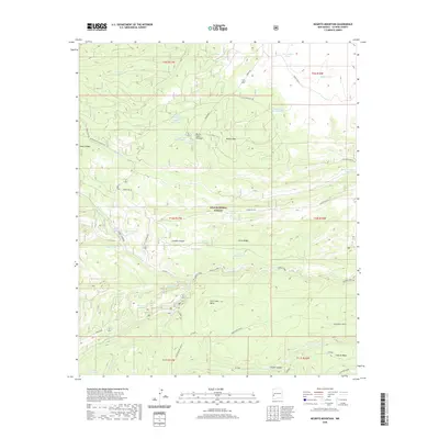
2020 Map of Negrito Mountain
USGS Topo · Published 2020About this map
Negrito Mtn rises above a landscape defined by an intricate network of tanks, canyons, and high plateaus within the Gila National Forest. This high-altitude drainage system is centered on the confluence of Gilita Cr, Willow Cr, and the Middle Fork, where names like School Canyon and Cooper Canyon reflect the local topography. The map reveals the critical importance of water management in this arid environment, documented by numerous named stock tanks such as Rocker Tank, Luckey Tank, and the Negrito Pasture Tank. Human presence is marked by a grid of forest service roads, including the prominent Bursum Rd and Loco Mountain Rd, which provide access to remote landmarks like Adam Hoague Lake and the marshy Burnt Cabin Cienega. Large upland features like Iron Creek Mesa dominate the southern half of the quadrangle.
Find a feature on this map
52 named features on this map. Tap any name to fly to it.
Don’t see what you’re looking for? This feature index may not catch every label — zoom into the map to look around manually.
Map Details
Editions of this 2020 Negrito Mountain Map
This is the sole edition of this map. No revisions or reprints were ever made.
Other maps of this area
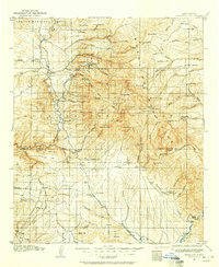
1910 · Mogollon
USGS Topo · 1:125,000
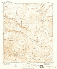
1911 · Alum Mountain
USGS Topo · 1:125,000
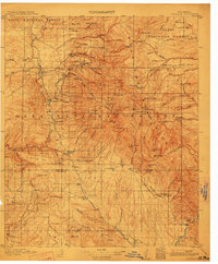
1912 · Mogollon
USGS Topo · 1:125,000
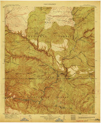
1913 · Alum Mountain
USGS Topo · 1:125,000
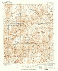
1915 · Reserve
USGS Topo · 1:125,000
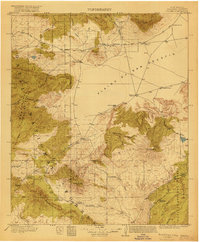
1918 · Pelona
USGS Topo · 1:125,000
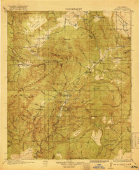
1918 · Reserve
USGS Topo · 1:125,000

1954 · Clifton
USGS Topo · 1:250,000

1957 · Clifton
USGS Topo · 1:250,000

1958 · Clifton
USGS Topo · 1:250,000