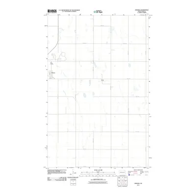
2011 Map of Nekoma
USGS Topo · Published 2011About this map
Nekoma serves as the central hub of this Cavalier County landscape, characterized by a structured grid of agricultural section lines and rural homesteads. The small settlement is defined by local thoroughfares including Main St and Dakota St, which anchor the town site. Genealogy researchers will find significant value in the documentation of two distinct burial grounds: Saint Edwards Cemetery located northwest of the town center, and Nekoma Cemetery situated to the east along 80th St NE. The surrounding terrain is meticulously partitioned by a network of gravel roads and section lines such as 108th Ave NE and 81st St NE, illustrating the persistent agrarian organization of the North Dakota plains during the early twenty-first century.
Find a feature on this map
19 named features on this map. Tap any name to fly to it.
Don’t see what you’re looking for? This feature index may not catch every label — zoom into the map to look around manually.
Map Details
Editions of this 2011 Nekoma Map
This is the sole edition of this map. No revisions or reprints were ever made.
Other maps of this area

1953 · Devils Lake
USGS Topo · 1:250,000

1956 · Devils Lake
USGS Topo · 1:250,000

1972 · Osnabrock
USGS Topo · 1:24,000

1972 · Nekoma
USGS Topo · 1:24,000

1972 · Easby
USGS Topo · 1:24,000

1972 · Osnabrock SW
USGS Topo · 1:24,000

1972 · Edmore
USGS Topo · 1:24,000

1972 · Fairdale
USGS Topo · 1:24,000

1972 · Edmore NE
USGS Topo · 1:24,000

1972 · Billings Lake
USGS Topo · 1:24,000