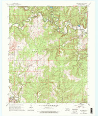
1960 Map of Nelagoney
USGS Topo · Published 1975About this map
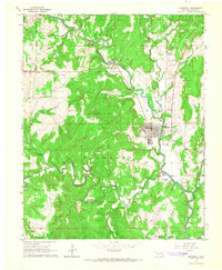
Osage Hills State Park anchors the northern landscape of this region, where the winding course of Sand Creek carves through the terrain near Lookout Point. The industrial character of the mid-twentieth century is clearly marked by a dense concentration of oil wells and gas wells scattered across the Strike Axe and Bigheart townships. These energy resources are situated alongside the vital transport corridor of the Missouri Kansas Texas railroad line, which connects the small settlements of Nelagoney, Kiheki, and Okesa.
Find a feature on this map
23 named features on this map. Tap any name to fly to it.
Don’t see what you’re looking for? This feature index may not catch every label — zoom into the map to look around manually.
Map Details
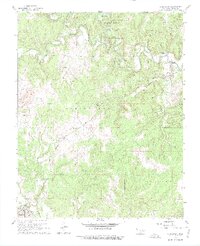
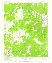
Editions of this 1960 Nelagoney Map
2 editions found
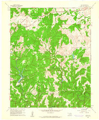
Other maps of this area
1906 · Nelagoney
USGS Topo · 1:24,000

1909 · Pawhuska
USGS Topo · 1:125,000

1910 · Pawhuska
USGS Topo · 1:125,000

1955 · Enid
USGS Topo · 1:250,000

1958 · Enid
USGS Topo · 1:250,000

1960 · Nanos
USGS Topo · 1:24,000
1960 · Nelagoney
USGS Topo · 1:24,000
1960 · Herd
USGS Topo · 1:24,000

1960 · Pawhuska
USGS Topo · 1:24,000
1964 · Barnsdall
USGS Topo · 1:24,000