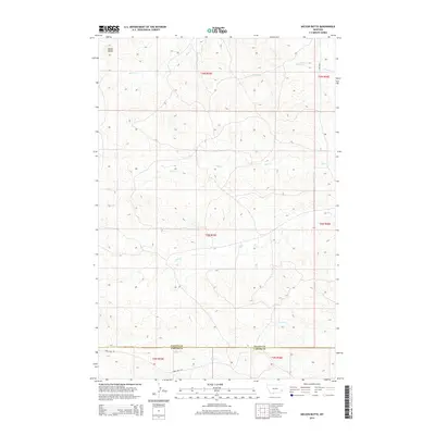
2014 Map of Nelson Butte
USGS Topo · Published 2014About this map
Nelson Butte dominates the northwestern corner of this landscape in southeastern Montana, serving as a primary landmark for the surrounding drainage basins. This area is defined by a dendritic network of seasonal waterways, where Back Cr and Stump Cr flow toward the larger O'Fallon Cr in the northeast. The southern portion of the map transition into the northern reaches of Carter County, where the terrain is marked by Ash Cr and Lone Tree Cr. Human passage through this high plains environment is primarily facilitated by regional routes such as Ismay Mail Rd and Ismay Rd S, which follow the natural contours between creek beds. The drainage patterns of Mile Cr and Ranch Cr illustrate a classic semi-arid topography where water management and local topography dictate the historical ranching boundaries of Fallon and Carter Counties.
Find a feature on this map
17 named features on this map. Tap any name to fly to it.
Don’t see what you’re looking for? This feature index may not catch every label — zoom into the map to look around manually.
Map Details
Editions of this 2014 Nelson Butte Map
This is the sole edition of this map. No revisions or reprints were ever made.
Other maps of this area

1953 · Miles City
USGS Topo · 1:250,000

1957 · Miles City
USGS Topo · 1:250,000

1958 · Miles City
USGS Topo · 1:250,000

1981 · Baker
USGS Topo · 1:100,000
1981 · Skunk Creek
USGS Topo · 1:24,000

1981 · Harmon Butte
USGS Topo · 1:24,000

1981 · Nelson Butte
USGS Topo · 1:24,000

1981 · Bracket Butte SE
USGS Topo · 1:24,000
1981 · Hooky Dam
USGS Topo · 1:24,000
1981 · North Fork Alkali Creek
USGS Topo · 1:24,000