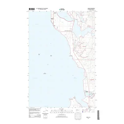
2013 Map of Nemah
USGS Topo · Published 2013About this map
Bay Center and the small coastal settlements along the eastern edge of Willapa Bay define this maritime landscape in Pacific County. The geography is dominated by the intricate intersection of land and tide, where the Niawiakum River and the forks of the South Fork Palix River meet the salt water. Local infrastructure centers on the road network connecting Rhodesia Beach and Sandy Point to the interior via Bay Center Rd. Further south, the map details the transition from the bay's open waters, including Long Island Shoal and the Nahcotta Channel, to the low-lying Nemah Flats. The presence of named properties such as Minks Ranch and Rose Ranch suggests a landscape of small-scale coastal agriculture and ranching, while the naming of the Nemah River Channel highlights the area's historical reliance on water navigation.
Find a feature on this map
36 named features on this map. Tap any name to fly to it.
Don’t see what you’re looking for? This feature index may not catch every label — zoom into the map to look around manually.
Map Details
Editions of this 2013 Nemah Map
This is the sole edition of this map. No revisions or reprints were ever made.
Other maps of this area

1938 · Cape Disappointment
USGS Topo · 1:62,500

1938 · Cape Shoalwater
USGS Topo · 1:62,500

1938 · Fort Columbia
USGS Topo · 1:62,500

1938 · South Bend
USGS Topo · 1:62,500

1940 · South Bend
USGS Topo · 1:62,500

1943 · Fort Columbia
USGS Topo · 1:62,500

1943 · Copalis Beach
USGS Topo · 1:250,000

1949 · Oman Ranch
USGS Topo · 1:24,000

1949 · Ocean Park
USGS Topo · 1:24,000

1949 · Long Island
USGS Topo · 1:24,000