
1949 Map of Ocean Park
USGS Topo · Published 1955About this map
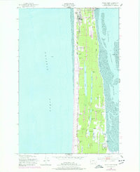
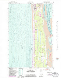
Peninsula life in the mid-20th century is defined by this coastal stretch between the Pacific Ocean and the calm waters of Shoalwater Bay. The settlements of Ocean Park and Nahcotta serve as the primary hubs, connected by the Ocean Beach Highway and an Old Railroad Grade that speaks to the area's earlier transport infrastructure. The landscape is dotted with numerous small lakes such as Loomis Lake and Cranberry Lake, alongside family-run operations like Loomis Ranch and Adamson Ranch. A unique feature is the Park Zoo located near the northern end of the map, adjacent to the Ocean Park-Nahcotta Sch. The presence of the Ocean Park Airfield and the County Dock at Nahcotta highlights the geographic importance of both air and sea access for this maritime community.
Find a feature on this map
46 named features on this map. Tap any name to fly to it.
Don’t see what you’re looking for? This feature index may not catch every label — zoom into the map to look around manually.
Map Details
Editions of this 1949 Ocean Park Map
3 editions found
Other maps of this area

1938 · Cape Disappointment
USGS Topo · 1:62,500

1938 · Cape Shoalwater
USGS Topo · 1:62,500

1938 · Fort Columbia
USGS Topo · 1:62,500

1938 · South Bend
USGS Topo · 1:62,500

1940 · South Bend
USGS Topo · 1:62,500

1943 · Fort Columbia
USGS Topo · 1:62,500

1943 · Copalis Beach
USGS Topo · 1:250,000

1949 · Chinook
USGS Topo · 1:24,000

1949 · Long Island
USGS Topo · 1:24,000
1949 · Cape Disappointment
USGS Topo · 1:24,000