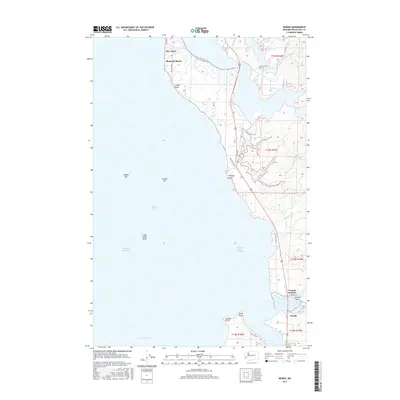
2017 Map of Nemah
USGS Topo · Published 2017About this map
Willapa Bay defines the western margin of this coastal landscape, where the tides shape a complex network of channels and points along the Pacific County shoreline. The peninsula at Bay Center and the adjacent Rhodesia Beach represent the primary residential clusters, situated north of the expansive Long Island Shoal. The interior is characterized by the winding courses of the Niawiakum River and the South Fork Palix River, which drain into the bay through marshy lowlands near Sandy Point.
Find a feature on this map
33 named features on this map. Tap any name to fly to it.
Don’t see what you’re looking for? This feature index may not catch every label — zoom into the map to look around manually.
Map Details
Editions of this 2017 Nemah Map
This is the sole edition of this map. No revisions or reprints were ever made.
Other maps of this area

1938 · Cape Disappointment
USGS Topo · 1:62,500

1938 · Cape Shoalwater
USGS Topo · 1:62,500

1938 · Fort Columbia
USGS Topo · 1:62,500

1938 · South Bend
USGS Topo · 1:62,500

1940 · South Bend
USGS Topo · 1:62,500

1943 · Fort Columbia
USGS Topo · 1:62,500

1943 · Copalis Beach
USGS Topo · 1:250,000

1949 · Oman Ranch
USGS Topo · 1:24,000

1949 · Ocean Park
USGS Topo · 1:24,000

1949 · Long Island
USGS Topo · 1:24,000