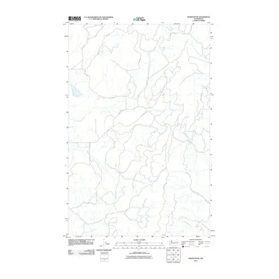
2011 Map of Nespelem NE
USGS Topo · Published 2011About this map
The Little Nespelem River winds through this section of Okanogan County, defining a landscape of high ridges and deep drainages. In this 2011 survey, the area is characterized by an extensive network of access roads, many designated by the Bureau of Indian Affairs, such as BIA 92 Rd and BIA 133 Rd. These routes provide connectivity across the undulating terrain, linking watersheds between Capoose Creek in the northeast and Empire Creek in the southeast.
Find a feature on this map
17 named features on this map. Tap any name to fly to it.
Don’t see what you’re looking for? This feature index may not catch every label — zoom into the map to look around manually.
Map Details
Editions of this 2011 Nespelem NE Map
This is the sole edition of this map. No revisions or reprints were ever made.
Other maps of this area

1950 · Nespelem
USGS Topo · 1:62,500

1952 · Keller
USGS Topo · 1:62,500

1953 · Seventeenmile Mtn.
USGS Topo · 1:62,500

1953 · Bald Knob
USGS Topo · 1:62,500

1954 · Okanogan
USGS Topo · 1:250,000

1958 · Okanogan
USGS Topo · 1:250,000

1984 · Nespelem
USGS Topo · 1:100,000

1986 · Central Peak
USGS Topo · 1:24,000
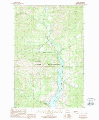
1989 · Keller
USGS Topo · 1:24,000
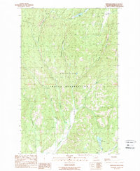
1989 · Stepstone Creek
USGS Topo · 1:24,000