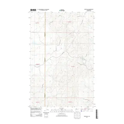
2014 Map of Nespelem NE
USGS Topo · Published 2014About this map
The Colville Indian Reservation defines the landscape of this Washington interior, spanning the border of Okanogan and Ferry counties. This 2014 survey captures a terrain shaped by its drainage networks, most notably the winding path of the Little Nespelem River through the western sections. The area is characterized by a high-elevation environment where access is facilitated by a network of Bureau of Indian Affairs routes, including BIA 1039 Rd and BIA 74 Rd. Water remains the primary geographical marker here, with numerous small streams like McAllister Cr, Capoose Cr, and Cache Creek cutting through the uplands. The intersection of modern roadway designations and traditional place names, such as Owhi Lake Rd, provides a clear view of how the land was managed and navigated in the early twenty-first century.
Find a feature on this map
24 named features on this map. Tap any name to fly to it.
Don’t see what you’re looking for? This feature index may not catch every label — zoom into the map to look around manually.
Map Details
Editions of this 2014 Nespelem NE Map
This is the sole edition of this map. No revisions or reprints were ever made.
Other maps of this area

1950 · Nespelem
USGS Topo · 1:62,500

1952 · Keller
USGS Topo · 1:62,500

1953 · Seventeenmile Mtn.
USGS Topo · 1:62,500

1953 · Bald Knob
USGS Topo · 1:62,500

1954 · Okanogan
USGS Topo · 1:250,000

1958 · Okanogan
USGS Topo · 1:250,000

1984 · Nespelem
USGS Topo · 1:100,000

1986 · Central Peak
USGS Topo · 1:24,000
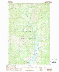
1989 · Keller
USGS Topo · 1:24,000
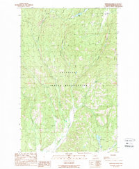
1989 · Stepstone Creek
USGS Topo · 1:24,000