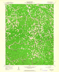
1962 Map of Nestlow
USGS Topo · Published 1963About this map
Nestlow serves as a central point in this early 1960s study of the Appalachian hills where Wayne, Cabell, and Lincoln counties converge. The landscape is characterized by a dense network of family-named cemeteries and rural institutions, including Beech Fork School and Camp Creek School, indicating a well-established but dispersed mountain community.
Find a feature on this map
105 named features on this map. Tap any name to fly to it.
Don’t see what you’re looking for? This feature index may not catch every label — zoom into the map to look around manually.
Map Details
Editions of this 1962 Nestlow Map
3 editions found
Other maps of this area

1892 · Huntington
USGS Topo · 1:125,000

1898 · Huntington
USGS Topo · 1:125,000
1901 · Guyandot
USGS Topo · 1:62,500
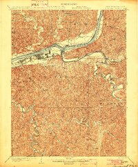
1902 · Guyandot
USGS Topo · 1:62,500
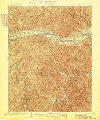
1902 · Milton
USGS Topo · 1:62,500
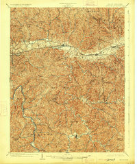
1902 · Midkiff
USGS Topo · 1:62,500
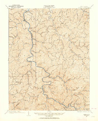
1907 · Midkiff
USGS Topo · 1:62,500
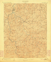
1909 · Wayne
USGS Topo · 1:62,500
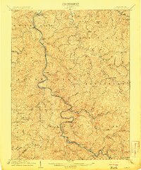
1909 · Midkiff
USGS Topo · 1:62,500
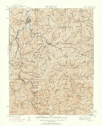
1931 · Wayne
USGS Topo · 1:62,500