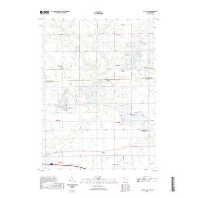
2019 Map of Nettle Lake
USGS Topo · Published 2019About this map
The Michigan-Ohio state line bisects this landscape where the Hillsdale and Williams county boundaries meet. This region is defined by a dense network of glacial lakes and river forks, including the namesake Nettle Lake and the newer developments surrounding Lake Seneca. The hydrography is particularly complex here, with the West Fork West Branch Saint Joseph River and several smaller named bodies like Jerrys Pond and Hogback Pond creating a fragmented terrain.
Find a feature on this map
65 named features on this map. Tap any name to fly to it.
Don’t see what you’re looking for? This feature index may not catch every label — zoom into the map to look around manually.
Map Details
Editions of this 2019 Nettle Lake Map
This is the sole edition of this map. No revisions or reprints were ever made.
Other maps of this area

1914 · Pioneer
USGS Topo · 1:62,500

1939 · Clear Lake
USGS Topo · 1:24,000

1940 · Metz
USGS Topo · 1:24,000

1940 · Clear Lake
USGS Topo · 1:24,000

1944 · Pioneer
USGS Topo · 1:62,500

1953 · Fort Wayne
USGS Topo · 1:250,000

1956 · Fort Wayne
USGS Topo · 1:250,000

1959 · Reading
USGS Topo · 1:24,000

1959 · Frontier
USGS Topo · 1:24,000
1960 · Camden
USGS Topo · 1:24,000