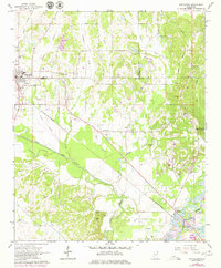
1966 Map of Nettleton
USGS Topo · Published 1979About this map
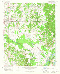
Nettleton sits at the intersection of the St Louis-San Francisco railroad and the county line between Lee and Monroe during this mid-century survey. The landscape is defined by the winding course of the Tombigbee River in the southeast corner and the expansive Town Creek valley. Numerous small rural community markers suggest a deeply settled agricultural history, with local nodes like Bigbee and a network of family-named cemeteries including Providence, Hester, and Goodwin.
Find a feature on this map
44 named features on this map. Tap any name to fly to it.
Don’t see what you’re looking for? This feature index may not catch every label — zoom into the map to look around manually.
Map Details
Editions of this 1966 Nettleton Map
2 editions found
Other maps of this area

1953 · West Point
USGS Topo · 1:250,000

1956 · Tupelo
USGS Topo · 1:250,000

1958 · Tupelo
USGS Topo · 1:250,000

1958 · West Point
USGS Topo · 1:250,000

1963 · West Point
USGS Topo · 1:250,000

1965 · Egypt
USGS Topo · 1:24,000

1966 · Smithville
USGS Topo · 1:24,000

1966 · Beans Ferry
USGS Topo · 1:24,000

1966 · Shannon
USGS Topo · 1:24,000

1966 · Amory
USGS Topo · 1:24,000