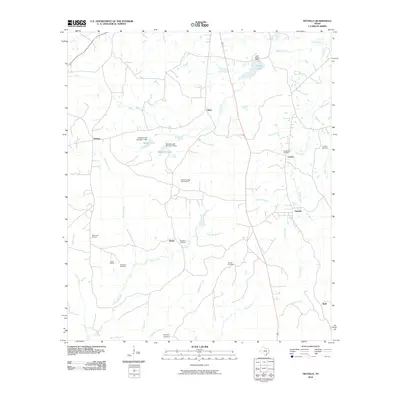
2010 Map of Neuville
USGS Topo · Published 2010About this map
Neuville and the surrounding rural landscape of Shelby County are defined by a network of creeks and small water bodies that supported decades of settlement in East Texas. The terrain is crisscrossed by waterways such as Straw Creek, Porter Creek, and Brady Creek, with larger collections of water at Center Lake and New City Lake. These sources were vital for the dispersed communities of Choice, Short, and Jericho, which are linked by a grid of backroads that navigate the low-lying drainage basins.
Find a feature on this map
35 named features on this map. Tap any name to fly to it.
Don’t see what you’re looking for? This feature index may not catch every label — zoom into the map to look around manually.
Map Details
Editions of this 2010 Neuville Map
This is the sole edition of this map. No revisions or reprints were ever made.
Other maps of this area

1953 · Palestine
USGS Topo · 1:250,000

1957 · Palestine
USGS Topo · 1:250,000

1958 · Center
USGS Topo · 1:62,500

1958 · San Augustine
USGS Topo · 1:62,500

1958 · Martinsville
USGS Topo · 1:62,500

1958 · Timpson
USGS Topo · 1:62,500

1984 · Palestine
USGS Topo · 1:250,000
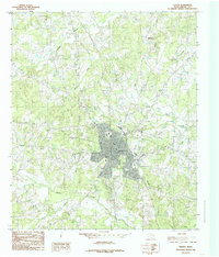
1984 · Center
USGS Topo · 1:24,000
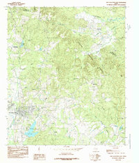
1984 · San Augustine East
USGS Topo · 1:24,000
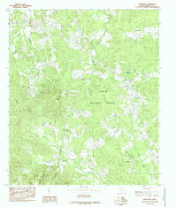
1984 · Hurstown
USGS Topo · 1:24,000