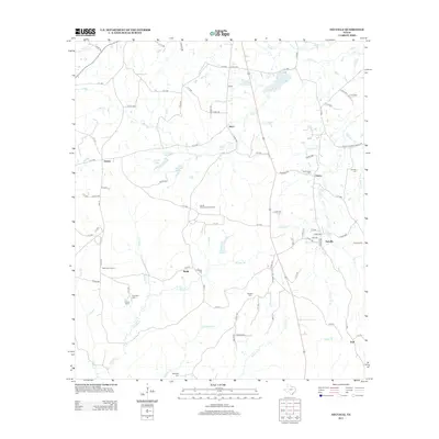
2013 Map of Neuville
USGS Topo · Published 2013About this map
Neuville and Choice anchor the eastern landscape of this Shelby County study, where a network of rural roads and creek drainages defines the local geography. The map reveals a high concentration of small family and community burial grounds, including Sinclair Cem and Old Buckner Cem, which provide essential points of reference for genealogical research in this part of East Texas. To the west, the settlements of Jericho and Short are connected by a web of county roads that navigate the complex hydrology of Mill Creek and Huana Creek.
Find a feature on this map
93 named features on this map. Tap any name to fly to it.
Don’t see what you’re looking for? This feature index may not catch every label — zoom into the map to look around manually.
Map Details
Editions of this 2013 Neuville Map
This is the sole edition of this map. No revisions or reprints were ever made.
Other maps of this area

1953 · Palestine
USGS Topo · 1:250,000

1957 · Palestine
USGS Topo · 1:250,000

1958 · Center
USGS Topo · 1:62,500

1958 · San Augustine
USGS Topo · 1:62,500

1958 · Martinsville
USGS Topo · 1:62,500

1958 · Timpson
USGS Topo · 1:62,500

1984 · Palestine
USGS Topo · 1:250,000
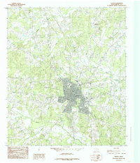
1984 · Center
USGS Topo · 1:24,000
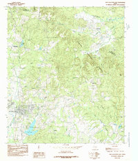
1984 · San Augustine East
USGS Topo · 1:24,000
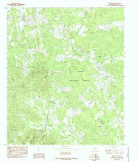
1984 · Hurstown
USGS Topo · 1:24,000